
1889 Map of Charlestown
USGS Topo · Published 1889About this map
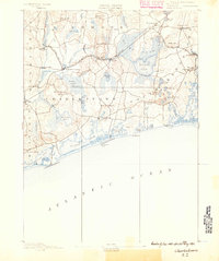
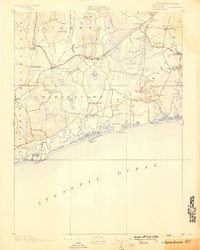
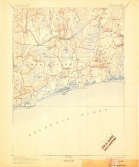
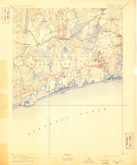
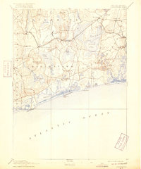
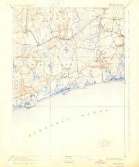
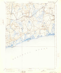
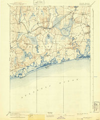
Indian Burying Hill and the vast Indian Cedar Swamp anchor this late-nineteenth-century survey of the Rhode Island coastline. The landscape is defined by its transition from the complex lagoon systems of Ninigret Pond and Quonochontaug Pond to the interior wetlands and glacial ponds like Worden's Pond. Inland, the economy of the era is evident in the dense network of rail and river power. The New York Providence and Boston Railroad cuts across the center of the sheet, connecting industrial hamlets such as Carolina, Shannock, and Kenyon. Small settlements like Richmond Switch and Plainville reflect the importance of transit junctions, while the northern reaches show the winding paths of the Pawcatuck River and Usquepaug River. This survey captures the region before modern coastal development, where family-named landmarks like Tiff's Hill and Larkin's Pond remained central to the local geography.
Find a feature on this map
68 named features on this map. Tap any name to fly to it.
Don’t see what you’re looking for? This feature index may not catch every label — zoom into the map to look around manually.
Map Details
Editions of this 1889 Charlestown Map
9 editions found
Other maps of this area

1889 · Stonington
USGS Topo · 1:62,500

1889 · Newport
USGS Topo · 1:62,500

1889 · Block Island
USGS Topo · 1:62,500

1889 · Moosup
USGS Topo · 1:62,500

1890 · Narragansett Bay
USGS Topo · 1:62,500

1890 · Kent
USGS Topo · 1:62,500

1892 · Narragansett Bay
USGS Topo · 1:62,500

1893 · Moosup
USGS Topo · 1:62,500

1893 · Stonington
USGS Topo · 1:62,500

1894 · Block Island
USGS Topo · 1:62,500