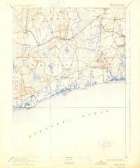
1889 Map of Charlestown
USGS Topo · Published 1926About this map
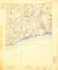
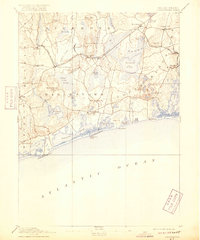
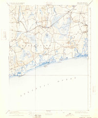
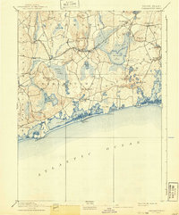
The coastal lagoons and extensive wetlands of Washington County dominate this late nineteenth-century landscape, centered on the town of Charlestown. The topography is defined by its relation to the sea, where Ninigret Pond, Quonochontaug Pond, and Green Hill Pond are separated from the Atlantic Ocean by narrow barriers like Charlestown Beach. Inland, the massive Great Swamp and Indian Cedar Swamp suggest the challenging, water-heavy terrain that early settlers and surveyors navigated.
Find a feature on this map
70 named features on this map. Tap any name to fly to it.
Don’t see what you’re looking for? This feature index may not catch every label — zoom into the map to look around manually.
Map Details
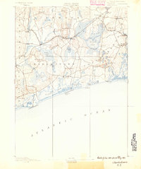
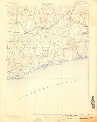
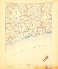
Editions of this 1889 Charlestown Map
9 editions found
Other maps of this area

1889 · Stonington
USGS Topo · 1:62,500

1889 · Charlestown
USGS Topo · 1:62,500

1889 · Newport
USGS Topo · 1:62,500

1889 · Block Island
USGS Topo · 1:62,500

1889 · Moosup
USGS Topo · 1:62,500

1890 · Narragansett Bay
USGS Topo · 1:62,500

1890 · Kent
USGS Topo · 1:62,500

1892 · Narragansett Bay
USGS Topo · 1:62,500

1893 · Moosup
USGS Topo · 1:62,500

1893 · Stonington
USGS Topo · 1:62,500