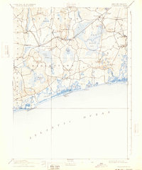
1889 Map of Charlestown
USGS Topo · Published 1932About this map
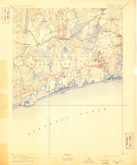
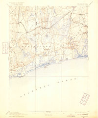
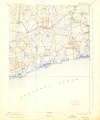
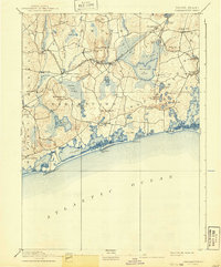
Indian Burying Hill and the vast expanse of the Great Swamp anchor this 1888 survey of the Rhode Island coast, revealing a landscape defined by glacial ponds and early industrial rail lines. The interior is a network of water and wetlands, where the Usquepaug River and Chipuxet River feed into large basins like Worden's Pond. This era shows the critical role of rail transport in South County, with the New York Providence and Boston Railroad and the Narragansett Pier Railroad connecting small villages like Shannock and Kenyon to larger hubs. Along the Atlantic, the barrier beaches of Ninigret Pond and Quonochontaug Pond appear largely undeveloped, showing the natural shoreline before modern coastal expansion. For genealogists, the inclusion of small settlements like Niantic and Carolina, alongside family-named landmarks like Teffts Hill and Kenyon Hill, provides a clear view of 19th-century settlement patterns in Washington County.
Find a feature on this map
70 named features on this map. Tap any name to fly to it.
Don’t see what you’re looking for? This feature index may not catch every label — zoom into the map to look around manually.
Map Details
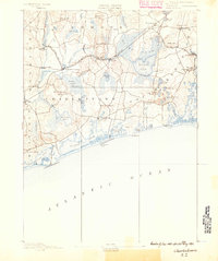
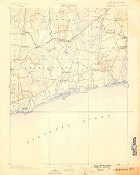
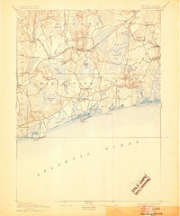
Editions of this 1889 Charlestown Map
9 editions found
Other maps of this area

1889 · Stonington
USGS Topo · 1:62,500

1889 · Charlestown
USGS Topo · 1:62,500

1889 · Newport
USGS Topo · 1:62,500

1889 · Block Island
USGS Topo · 1:62,500

1889 · Moosup
USGS Topo · 1:62,500

1890 · Narragansett Bay
USGS Topo · 1:62,500

1890 · Kent
USGS Topo · 1:62,500

1892 · Narragansett Bay
USGS Topo · 1:62,500

1893 · Moosup
USGS Topo · 1:62,500

1893 · Stonington
USGS Topo · 1:62,500