
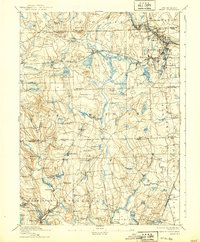
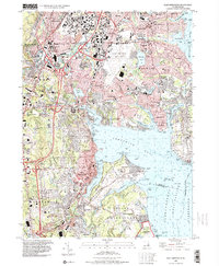
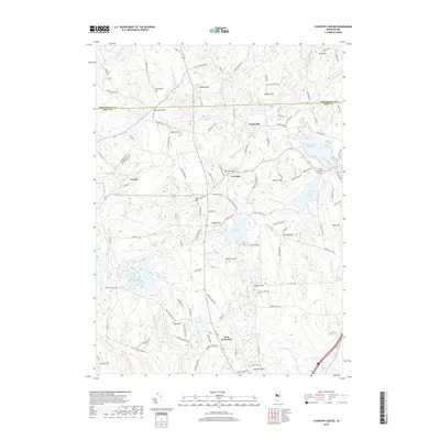
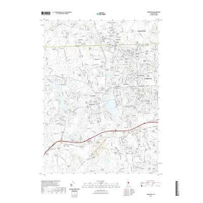
1890 Map of Kent
USGS Topo · Published 1890About this map
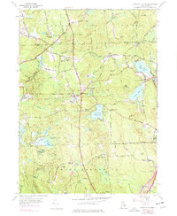
Industrial villages and textile centers crowd the riverbanks in this late nineteenth-century portrait of central Rhode Island. The Pawtuxet Valley Railroad and the New York and New England Railroad create a dense corridor of commerce, linking concentrated manufacturing points like Phenix, Lippitt, and Arctic. These busy rail-and-river towns stand in sharp contrast to the interior reaches of Coventry and West Greenwich, where the landscape is defined by extensive wetlands like Mishnock Swamp and prominent elevations including Biscuit Hill and Weaver Hill.
Find a feature on this map
114 named features on this map. Tap any name to fly to it.
Don’t see what you’re looking for? This feature index may not catch every label — zoom into the map to look around manually.
Map Details
Editions of this 1890 Kent Map
This is the sole edition of this map. No revisions or reprints were ever made.
Historical Maps of Warwick Through Time
27 maps found
1890 Kent
Kent County, RI
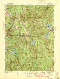
1894 Kent
Kent County, RI

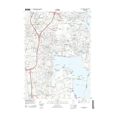
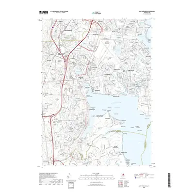
1942 East Greenwich
Kent County, RI
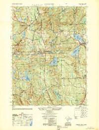
1943 Coventry
Kent County, RI

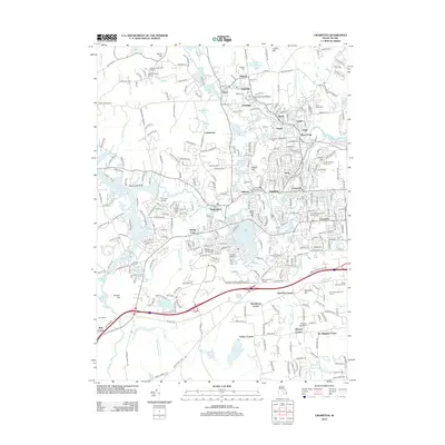
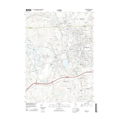
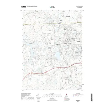
1943 Crompton
Kent County, RI
1944 East Greenwich
Kent County, RI
1950 Coventry
Kent County, RI
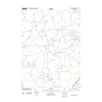
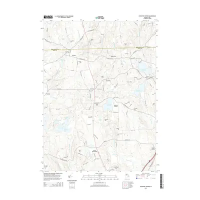
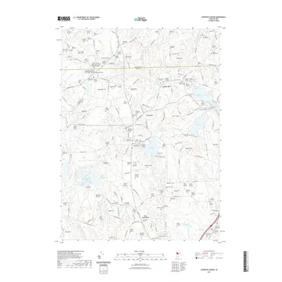
1955 Coventry Center
Kent County, RI
1955 Crompton
Kent County, RI
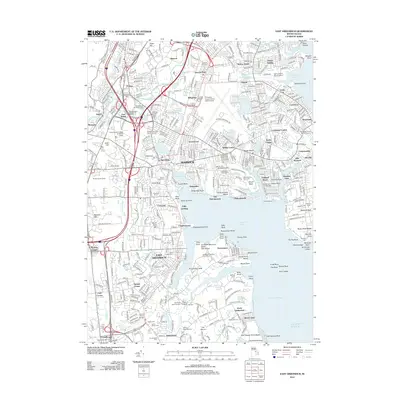
1957 East Greenwich
Kent County, RI
1995 Crompton
Kent County, RI
1996 East Greenwich
Kent County, RI
2012 Coventry Center
Kent County, RI
2012 Crompton
Kent County, RI
2012 East Greenwich
Kent County, RI
2015 Coventry Center
Kent County, RI
2015 Crompton
Kent County, RI
2015 East Greenwich
Kent County, RI
2018 Coventry Center
Kent County, RI
2018 Crompton
Kent County, RI
2018 East Greenwich
Kent County, RI
2021 Coventry Center
Kent County, RI
2021 Crompton
Kent County, RI
2021 East Greenwich
Kent County, RI
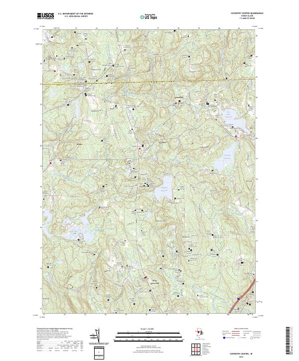
2024 Coventry Center
Kent County, RI
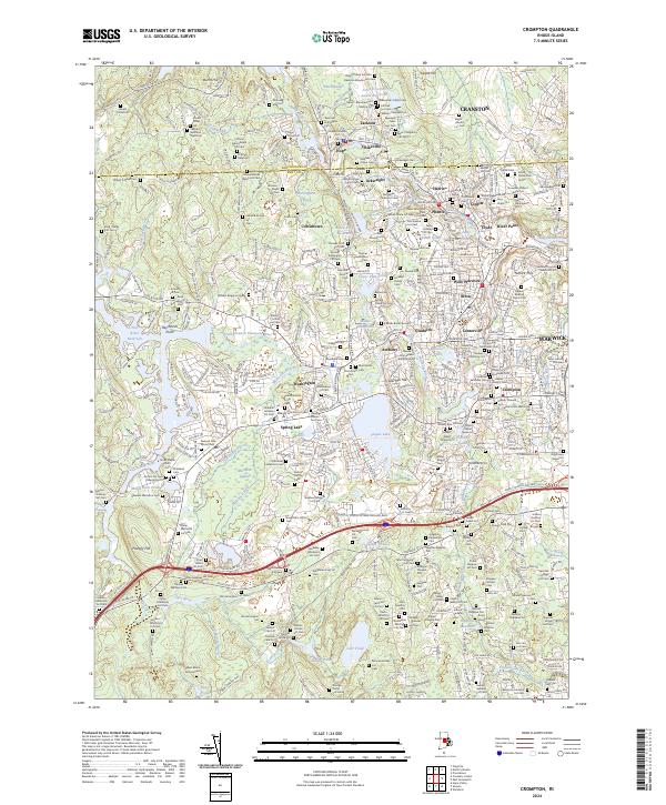
2024 Crompton
Kent County, RI
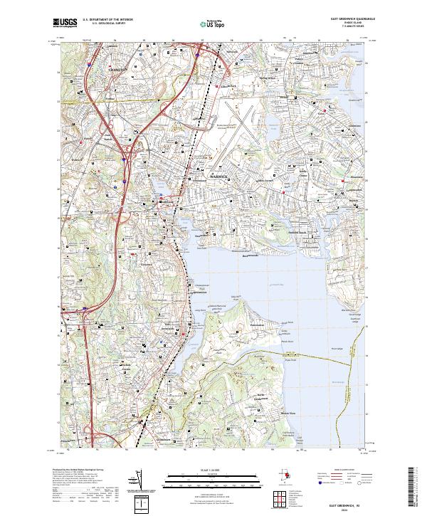
2024 East Greenwich
Kent County, RI