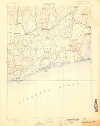
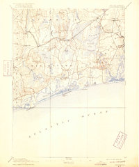
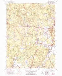
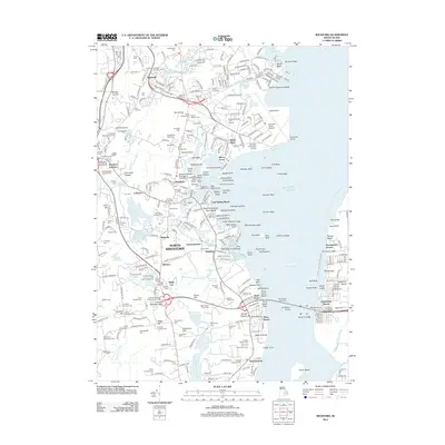
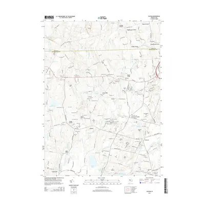
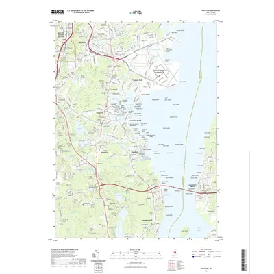
1889 Map of Charlestown
USGS Topo · Published 1898About this map
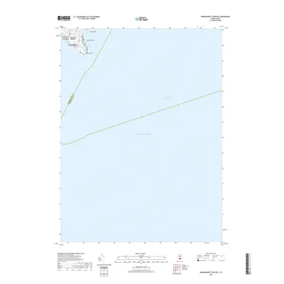
Ninigret Pond and the winding coastal barrier of Charlestown Beach anchor this late 19th-century survey of Rhode Island's southern shore. The landscape is a complex network of glacial ponds and wetlands, most notably the expansive Great Swamp and Indian Cedar Swamp, which have historically shaped the settlement patterns of Charlestown and South Kingstown. Inland, the importance of the rail economy is evident at the Wood River Junction, where the New York Providence and Boston Railroad meets the Wood River Branch Railroad.
Find a feature on this map
72 named features on this map. Tap any name to fly to it.
Don’t see what you’re looking for? This feature index may not catch every label — zoom into the map to look around manually.
Map Details
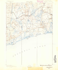
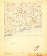
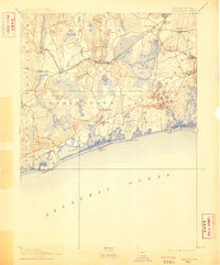
Editions of this 1889 Charlestown Map
9 editions found


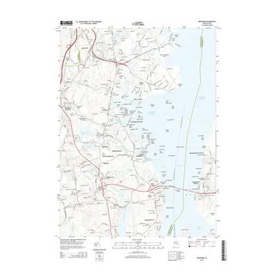
Historical Maps of South Kingstown Through Time
43 maps found

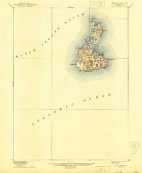
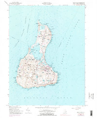
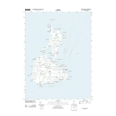
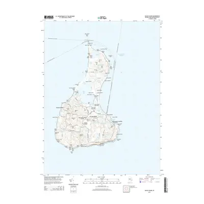
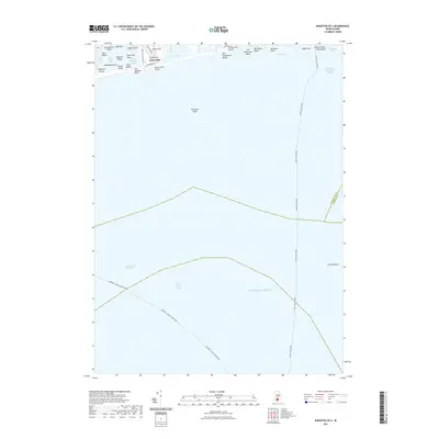
1889 Block Island
Washington County, RI
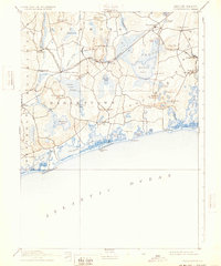
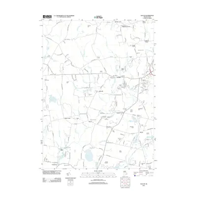
1889 Charlestown
Washington County, RI

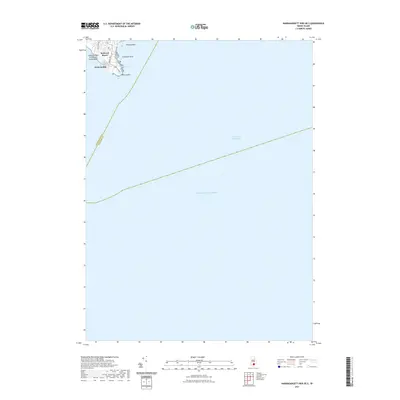
1894 Block Island
Washington County, RI
1899 Block Island
Washington County, RI

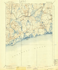
1919 Charlestown
Washington County, RI

1921 Charlestown
Washington County, RI

1942 Wickford
Washington County, RI

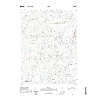
1943 Slocum
Washington County, RI

1944 Wickford
Washington County, RI

1950 Slocum
Washington County, RI
1955 Slocum
Washington County, RI
1957 Block Island
Washington County, RI
1957 Wickford
Washington County, RI

1984 Block Island
Washington County, RI
1995 Wickford
Washington County, RI

1996 Slocum
Washington County, RI

1998 Block Island
Washington County, RI

2001 Slocum
Washington County, RI
2012 Block Island
Washington County, RI
2012 Kingston OE S
Washington County, RI
2012 Narragansett Pier OE S
Washington County, RI
2012 Slocum
Washington County, RI
2012 Wickford
Washington County, RI
2015 Block Island
Washington County, RI
2015 Kingston OE S
Washington County, RI
2015 Narragansett Pier OE S
Washington County, RI
2015 Slocum
Washington County, RI
2015 Wickford
Washington County, RI
2018 Block Island
Washington County, RI
2018 Kingston OE S
Washington County, RI
2018 Narragansett Pier OE S
Washington County, RI
2018 Slocum
Washington County, RI
2018 Wickford
Washington County, RI
2021 Block Island
Washington County, RI
2021 Kingston OE S
Washington County, RI
2021 Narragansett Pier OE S
Washington County, RI
2021 Slocum
Washington County, RI
2021 Wickford
Washington County, RI
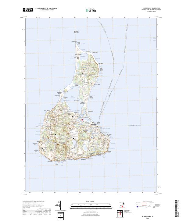
2024 Block Island
Washington County, RI
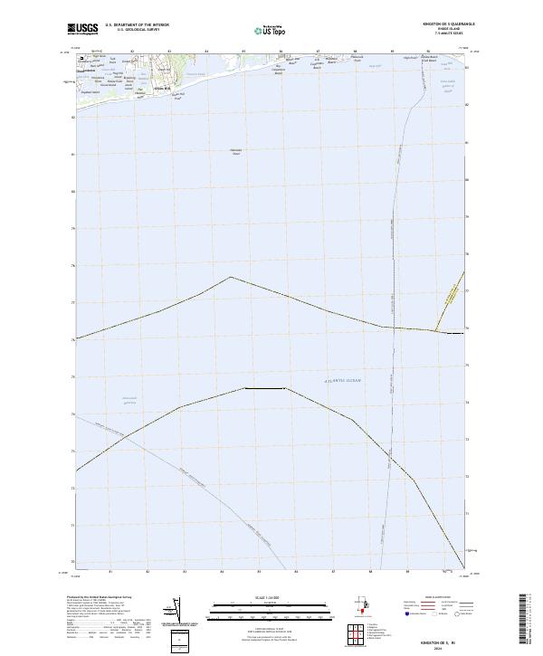
2024 Kingston OE S
Washington County, RI
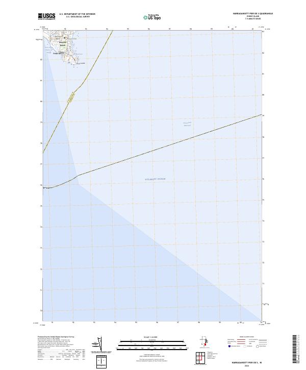
2024 Narragansett Pier OE S
Washington County, RI

2024 Slocum
Washington County, RI
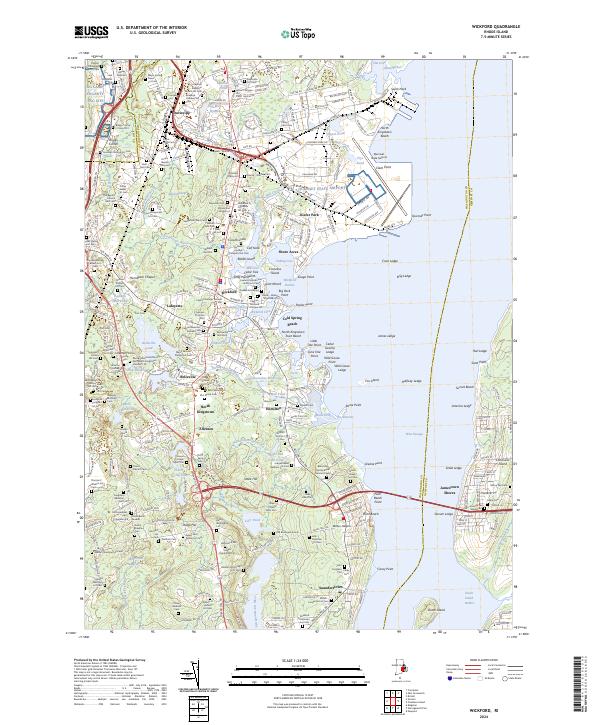
2024 Wickford
Washington County, RI