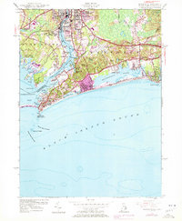
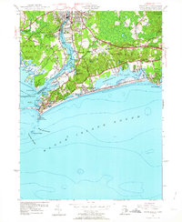
1953 Map of Watch Hill
USGS Topo · Published 1972About this map
Westerly, Rhode Island, and its neighboring community of Pawcatuck, Connecticut, are divided by the winding course of the Pawcatuck River as it flows toward Little Narragansett Bay. This 1953 survey, photorevised in 1970, reveals a landscape defined by coastal recreation and granite industry, with several Quarries (Abandoned) located north of the city center. Along the southern shoreline, the development of Misquamicut and Weekapaug stretches between Winnapaug Pond and the surf of Block Island Sound.
Find a feature on this map
58 named features on this map. Tap any name to fly to it.
Don’t see what you’re looking for? This feature index may not catch every label — zoom into the map to look around manually.
Map Details
Editions of this 1953 Watch Hill Map
7 editions found
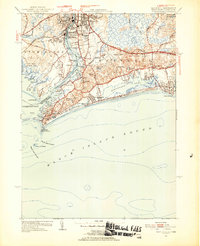
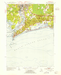
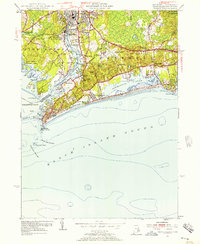
Other maps of this area

1889 · Stonington
USGS Topo · 1:62,500

1889 · Charlestown
USGS Topo · 1:62,500

1889 · Block Island
USGS Topo · 1:62,500

1893 · Stonington
USGS Topo · 1:62,500

1894 · Block Island
USGS Topo · 1:62,500

1899 · Block Island
USGS Topo · 1:62,500

1904 · Montauk
USGS Topo · 1:62,500

1919 · Charlestown
USGS Topo · 1:62,500

1921 · Charlestown
USGS Topo · 1:62,500

1921 · Stonington
USGS Topo · 1:62,500