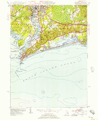
1953 Map of Watch Hill
USGS Topo · Published 1957About this map
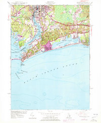
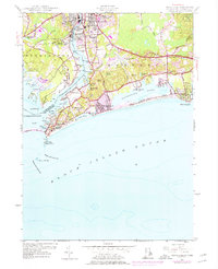
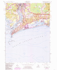
The Pawcatuck River defines the border between Rhode Island and Connecticut on this mid-century survey, linking the industrial character of Pawcatuck and Westerly with the coastal retreats of the Atlantic shore. The influence of the New Haven and Hartford RR is evident near the town centers, while the coast shows a landscape shaped by recreation and maritime safety. From the Watch Hill Lighthouse at the tip of Watch Hill Pt to the Misquamicut Club Golf Course, the map detail captures the established resorts of Watch Hill and Misquamicut before later development. Inland, Quarries (Abandoned) and the St Sebastian Cem hint at the local workforce and community life, while the Westerly State Airport and Woody Hill Reservation mark the mid-century footprint of public infrastructure and conservation.
Find a feature on this map
60 named features on this map. Tap any name to fly to it.
Don’t see what you’re looking for? This feature index may not catch every label — zoom into the map to look around manually.
Map Details
Editions of this 1953 Watch Hill Map
7 editions found
Other maps of this area

1889 · Stonington
USGS Topo · 1:62,500

1889 · Charlestown
USGS Topo · 1:62,500

1889 · Block Island
USGS Topo · 1:62,500

1893 · Stonington
USGS Topo · 1:62,500

1894 · Block Island
USGS Topo · 1:62,500

1899 · Block Island
USGS Topo · 1:62,500

1904 · Montauk
USGS Topo · 1:62,500

1919 · Charlestown
USGS Topo · 1:62,500

1921 · Charlestown
USGS Topo · 1:62,500

1921 · Stonington
USGS Topo · 1:62,500