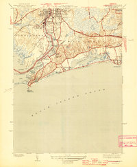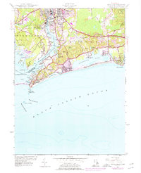
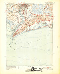
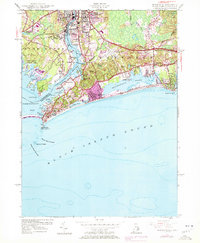
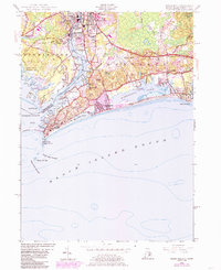
1953 Map of Watch Hill
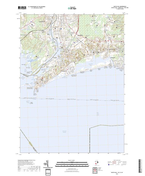
USGS Topo · Published 1976About this map
The Pawcatuck River serves as the dividing line between Pawcatuck and Westerly, Rhode Island, in this mid-century coastal survey. This maritime landscape is defined by its complex shoreline, where the river empties into Little Narragansett Bay near the protective reach of Napatree Beach. The map details the transition from the industrial and residential centers of the north to the seasonal resort culture of the south, specifically in Watch Hill and Misquamicut. Grounded in the early 1950s but reflecting mid-1970s updates, the sheet tracks the expansion of local infrastructure, including the Westerly State Airport and the coastal thoroughfare of Ocean View Highway. Inland, the presence of abandoned quarries and the Woody Hill Management Area point to a landscape shaped by both resource extraction and conservation, while sites like St Sebastian Cem and River Bend Cem provide valuable touchstones for genealogists.
Find a feature on this map
71 named features on this map. Tap any name to fly to it.
Don’t see what you’re looking for? This feature index may not catch every label — zoom into the map to look around manually.
Map Details
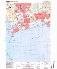
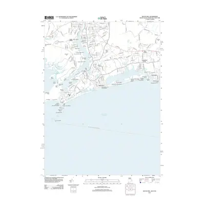
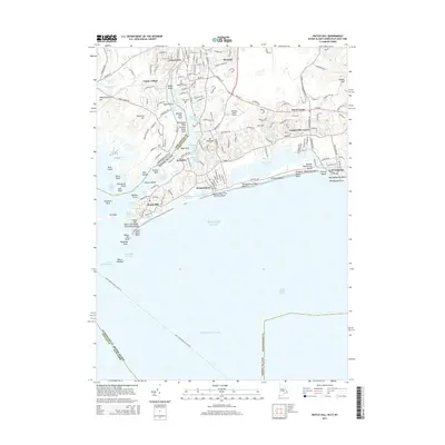
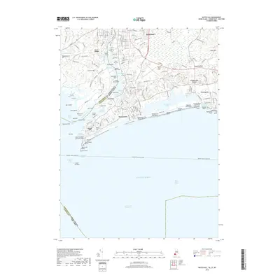
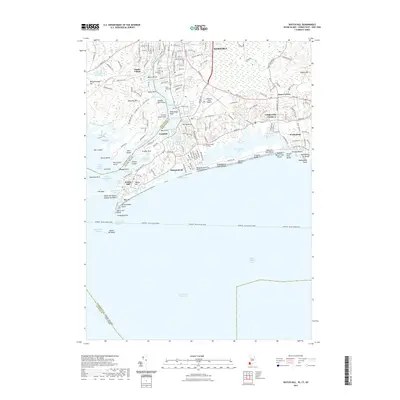
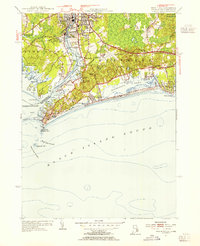
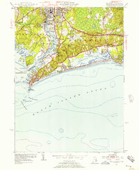
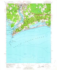
Editions of this 1953 Watch Hill Map
7 editions found
Historical Maps of Southold Through Time
8 maps found