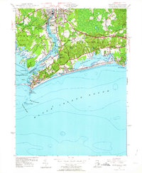
1953 Map of Watch Hill
USGS Topo · Published 1964About this map
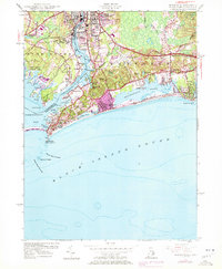
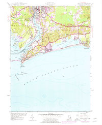
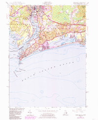
The Pawcatuck River defines the border between Rhode Island and Connecticut in this early 1950s survey, anchoring the industrial and residential centers of Westerly and Pawcatuck. This coastal landscape is dominated by the expansive Winnapaug Pond and the barrier beaches of Napatree Beach and Atlantic Beach. The maritime character of the region is evident in the numerous coves and points, such as Mastuxet Cove and Stanton Weir Pt, which break the shoreline of Little Narragansett Bay. Inland, the map documents the infrastructure of the era, from the Westerly State Airport to the New York New Haven and Hartford railroad line. Local history is preserved through the mapping of several cemeteries, including River Bend Cem and St Sebastian Cem, alongside prominent landmarks like the Watch Hill Lighthouse standing sentinel over the Watch Hill Passage.
Find a feature on this map
74 named features on this map. Tap any name to fly to it.
Don’t see what you’re looking for? This feature index may not catch every label — zoom into the map to look around manually.
Map Details
Editions of this 1953 Watch Hill Map
7 editions found
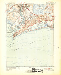
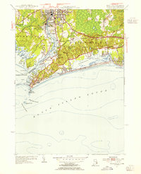
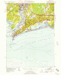
Other maps of this area

1889 · Stonington
USGS Topo · 1:62,500

1889 · Charlestown
USGS Topo · 1:62,500

1889 · Block Island
USGS Topo · 1:62,500

1893 · Stonington
USGS Topo · 1:62,500

1894 · Block Island
USGS Topo · 1:62,500

1899 · Block Island
USGS Topo · 1:62,500

1904 · Montauk
USGS Topo · 1:62,500

1919 · Charlestown
USGS Topo · 1:62,500

1921 · Charlestown
USGS Topo · 1:62,500

1921 · Stonington
USGS Topo · 1:62,500