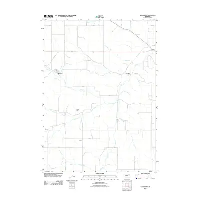
2011 Map of Waterbury
USGS Topo · Published 2011About this map
Waterbury serves as the focal point of this northeast Nebraska landscape, situated near the western edge of the quadrangle. The settlement is anchored by the Waterbury Post Office and connected by a local network including Spur 29a. To the east, the small communities of Goodwin and Willis are linked by the principal east-west thoroughfare, while a series of creek systems, including Otter Creek, Eagle Creek, and Elk Creek, define the natural drainage of the region.
Find a feature on this map
51 named features on this map. Tap any name to fly to it.
Don’t see what you’re looking for? This feature index may not catch every label — zoom into the map to look around manually.
Map Details
Editions of this 2011 Waterbury Map
This is the sole edition of this map. No revisions or reprints were ever made.
Other maps of this area

1898 · Elk Point
USGS Topo · 1:125,000

1901 · Elk Point
USGS Topo · 1:125,000

1907 · Elk Point
USGS Topo · 1:125,000

1955 · Sioux City
USGS Topo · 1:250,000

1958 · Sioux City
USGS Topo · 1:250,000

1959 · Sioux City
USGS Topo · 1:250,000

1963 · Jefferson
USGS Topo · 1:24,000
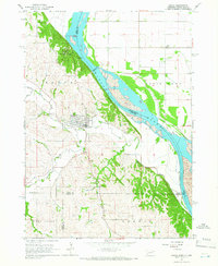
1964 · Ponca
USGS Topo · 1:24,000
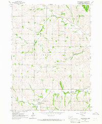
1964 · Martinsburg
USGS Topo · 1:24,000

1967 · Waterbury
USGS Topo · 1:24,000