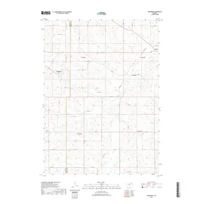
2017 Map of Waterbury
USGS Topo · Published 2017About this map
Waterbury serves as the primary hub in this corner of Northeast Nebraska, situated along the undulating drainage basins that define the local topography. This 2017 survey captures the intersection of rural life and natural hydrology, where the small settlements of Goodwin and Willis are linked by a network of sectional roads and the path of State Spur 26. The landscape is heavily carved by a series of creeks, including Elk Cr, Otter Cr, and Pigeon Cr, which dictate the placement of local thoroughfares and homesteads.
Find a feature on this map
44 named features on this map. Tap any name to fly to it.
Don’t see what you’re looking for? This feature index may not catch every label — zoom into the map to look around manually.
Map Details
Editions of this 2017 Waterbury Map
This is the sole edition of this map. No revisions or reprints were ever made.
Other maps of this area

1898 · Elk Point
USGS Topo · 1:125,000

1901 · Elk Point
USGS Topo · 1:125,000

1907 · Elk Point
USGS Topo · 1:125,000

1955 · Sioux City
USGS Topo · 1:250,000

1958 · Sioux City
USGS Topo · 1:250,000

1959 · Sioux City
USGS Topo · 1:250,000

1963 · Jefferson
USGS Topo · 1:24,000
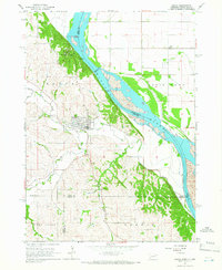
1964 · Ponca
USGS Topo · 1:24,000
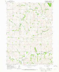
1964 · Martinsburg
USGS Topo · 1:24,000

1967 · Waterbury
USGS Topo · 1:24,000