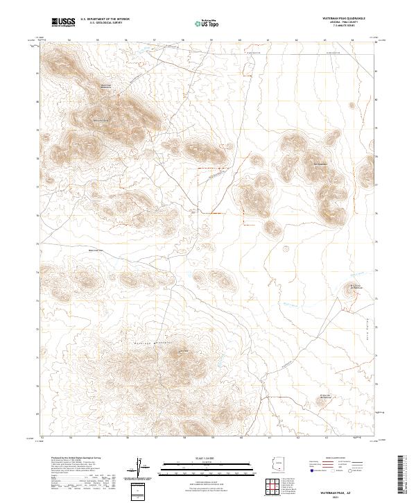
2021 Map of Waterman Peak
USGS Topo · Published 2021About this map
The Waterman Mountains and Roskruge Mountains dominate this arid section of Avra Valley as it appeared in the early 2020s. The terrain is defined by dramatic desert elevations, including Waterman Peak and the distinctive formations of Pan Quemado. Low-lying drainage patterns are clearly marked by the Cocio Wash and Blanco Wash, which cut through the landscape toward the east. Human presence is largely limited to essential transit corridors and localized landmarks such as Johnstone Mine Rd and Agua Dulce Ranch Rd. Isolated peaks like El Cerrito de Gallinas and El Cerrito de Represso stand as notable navigational points for those studying the physical geography or ranching history of this Pima County landscape.
Find a feature on this map
19 named features on this map. Tap any name to fly to it.
Don’t see what you’re looking for? This feature index may not catch every label — zoom into the map to look around manually.
Map Details
Editions of this 2021 Waterman Peak Map
This is the sole edition of this map. No revisions or reprints were ever made.
Other maps of this area

1934 · Tucson Mountains
USGS Topo · 1:125,000

1934 · Silver Bell
USGS Topo · 1:125,000

1938 · San Vicente
USGS Topo · 1:62,500

1941 · San Vicente
USGS Topo · 1:62,500

1941 · Cocoraque Butte
USGS Topo · 1:62,500

1942 · San Vicente
USGS Topo · 1:62,500

1943 · Cocoraque Butte
USGS Topo · 1:62,500

1948 · San Vicente
USGS Topo · 1:62,500

1956 · Tucson
USGS Topo · 1:250,000

1958 · Tucson
USGS Topo · 1:250,000