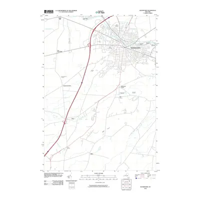
2010 Map of Watertown
USGS Topo · Published 2010About this map
The Black River defines the urban core of Watertown, where the Watertown Water Works and Sewalls Island reflect the city's long-standing industrial and utility relationship with the waterway. This 2010 survey details the transition from the dense street grids and rail infrastructure of Massey Yard to the surrounding rural hamlets and agricultural lands. Genealogists will find a significant concentration of burial sites, including North Watertown Cemetery, Arsenal Street Cemetery, and the Degel Israel Cemetery. Beyond the city limits, the landscape shifts toward the rising terrain of Dry Hill and small crossroads settlements such as Fields Settlement and Rices. The southern reaches of the map are defined by the winding paths of Stony Creek and the notable drop at Talcott Falls, illustrating the varied topography of Jefferson County just east of Lake Ontario.
Find a feature on this map
28 named features on this map. Tap any name to fly to it.
Don’t see what you’re looking for? This feature index may not catch every label — zoom into the map to look around manually.
Map Details
Editions of this 2010 Watertown Map
This is the sole edition of this map. No revisions or reprints were ever made.
Other maps of this area

1893 · Sackets Harbor
USGS Topo · 1:62,500

1895 · Sacketts Harbor
USGS Topo · 1:62,500

1895 · Watertown
USGS Topo · 1:62,500

1898 · Watertown
USGS Topo · 1:62,500

1900 · Clayton
USGS Topo · 1:62,500

1903 · Clayton
USGS Topo · 1:62,500

1903 · Theresa
USGS Topo · 1:62,500

1908 · Watertown
USGS Topo · 1:62,500

1909 · Watertown
USGS Topo · 1:62,500
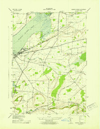
1943 · Sackets Harbor
USGS Topo · 1:31,680