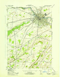
1943 Map of Watertown
USGS Topo · Published 1943About this map
The Black River anchors this wartime survey of Watertown, flowing past industrial centers and civil infrastructure such as the City Hall, Museum, and Library. The urban core is flanked by the expansive Thompson Park and a sprawling Golf Course, while the NYC RR provides essential rail transit through the river corridor. Beyond the city center, the landscape transitions into a series of smaller hamlets and rural districts like Fields Settlement, Rices, and Talcott Corners.
Find a feature on this map
70 named features on this map. Tap any name to fly to it.
Don’t see what you’re looking for? This feature index may not catch every label — zoom into the map to look around manually.
Map Details
Editions of this 1943 Watertown Map
This is the sole edition of this map. No revisions or reprints were ever made.
Other maps of this area

1893 · Sackets Harbor
USGS Topo · 1:62,500

1895 · Sacketts Harbor
USGS Topo · 1:62,500

1895 · Watertown
USGS Topo · 1:62,500

1898 · Watertown
USGS Topo · 1:62,500

1900 · Clayton
USGS Topo · 1:62,500

1903 · Clayton
USGS Topo · 1:62,500

1903 · Theresa
USGS Topo · 1:62,500

1908 · Watertown
USGS Topo · 1:62,500

1909 · Watertown
USGS Topo · 1:62,500
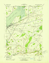
1943 · Sackets Harbor
USGS Topo · 1:31,680