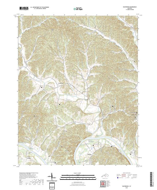
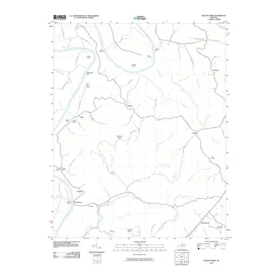
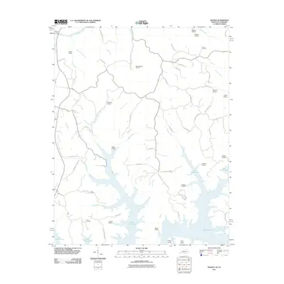
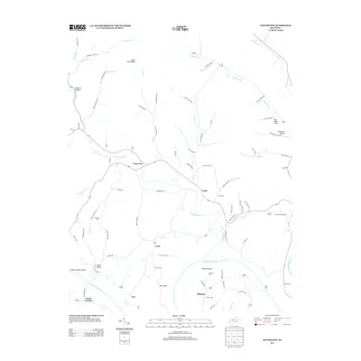
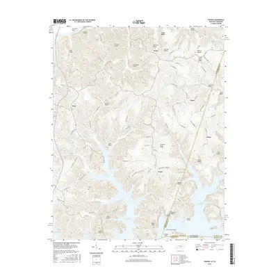
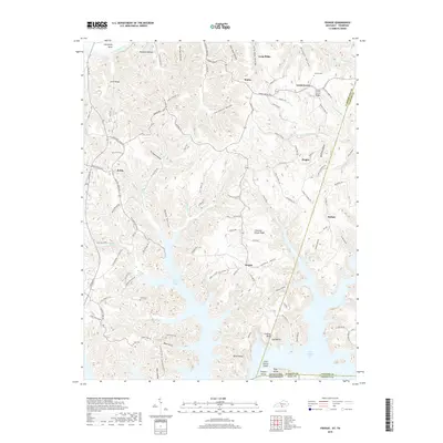
2022 Map of Waterview
USGS Topo · Published 2022About this map
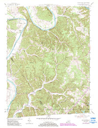
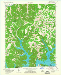
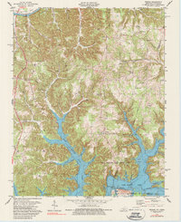
The Cumberland River carves a winding path through this corner of Cumberland County, defining the low-lying agricultural pockets of Whites Bottom and the sharp turn at Salt Lick Bend. The landscape is characterized by a dense network of hollows and ridges, such as the evocative Purgatory Hollow and the prominent Rocky Point Ridge. Small communities and family settlements are scattered throughout the hills, including Waterview, Grider, and Ellington, each connected by a web of narrow roads like Glasgow Rd and Waterview Rd.
Find a feature on this map
100 named features on this map. Tap any name to fly to it.
Don’t see what you’re looking for? This feature index may not catch every label — zoom into the map to look around manually.
Map Details
Editions of this 2022 Waterview Map
This is the sole edition of this map. No revisions or reprints were ever made.
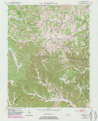
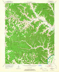
Historical Maps of Burkesville Through Time
31 maps found
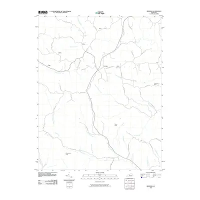
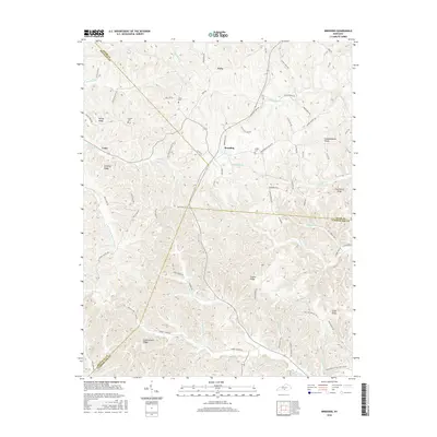
1953 Breeding
Cumberland County, KY
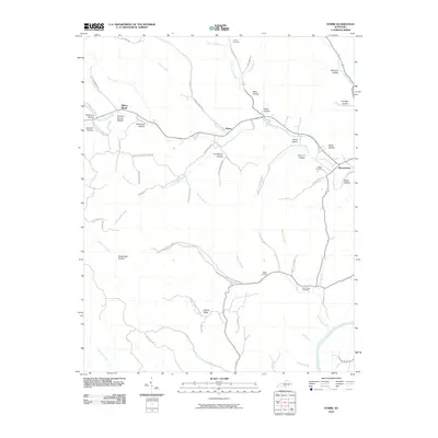
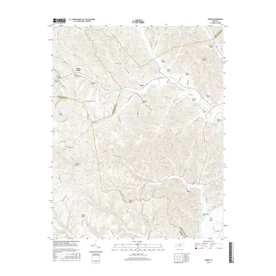
1953 Dubre
Cumberland County, KY
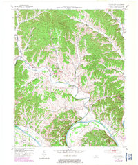
1953 Waterview
Cumberland County, KY
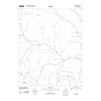
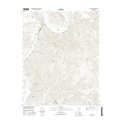
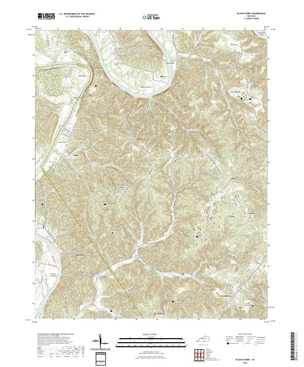
1954 Blacks Ferry
Cumberland County, KY
1954 Frogue
Cumberland County, KY
1978 Frogue
Cumberland County, KY
2010 Blacks Ferry
Cumberland County, KY
2010 Breeding
Cumberland County, KY
2010 Dubre
Cumberland County, KY
2010 Waterview
Cumberland County, KY
2011 Frogue
Cumberland County, KY
2013 Blacks Ferry
Cumberland County, KY
2013 Breeding
Cumberland County, KY
2013 Dubre
Cumberland County, KY
2013 Frogue
Cumberland County, KY
2013 Waterview
Cumberland County, KY
2016 Blacks Ferry
Cumberland County, KY
2016 Breeding
Cumberland County, KY
2016 Dubre
Cumberland County, KY
2016 Frogue
Cumberland County, KY
2016 Waterview
Cumberland County, KY
2019 Blacks Ferry
Cumberland County, KY
2019 Breeding
Cumberland County, KY
2019 Dubre
Cumberland County, KY
2019 Frogue
Cumberland County, KY
2019 Waterview
Cumberland County, KY
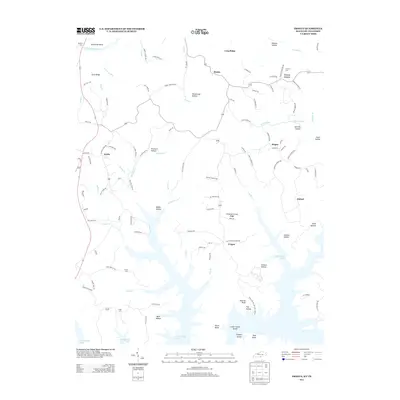
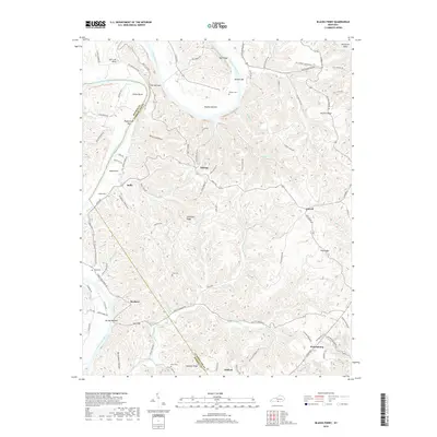
2022 Blacks Ferry
Cumberland County, KY
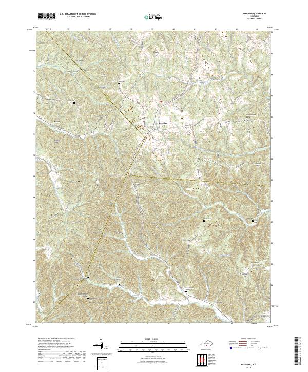
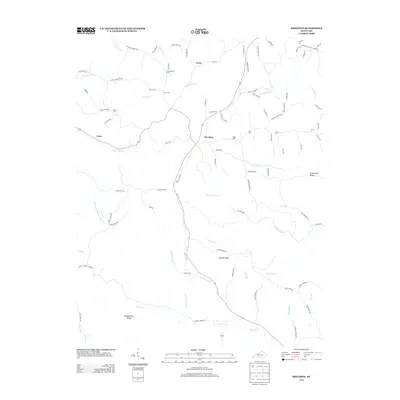
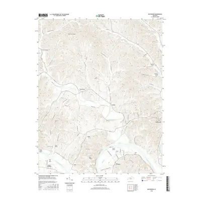
2022 Breeding
Cumberland County, KY
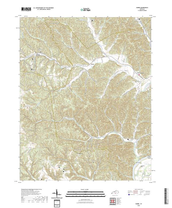
2022 Dubre
Cumberland County, KY
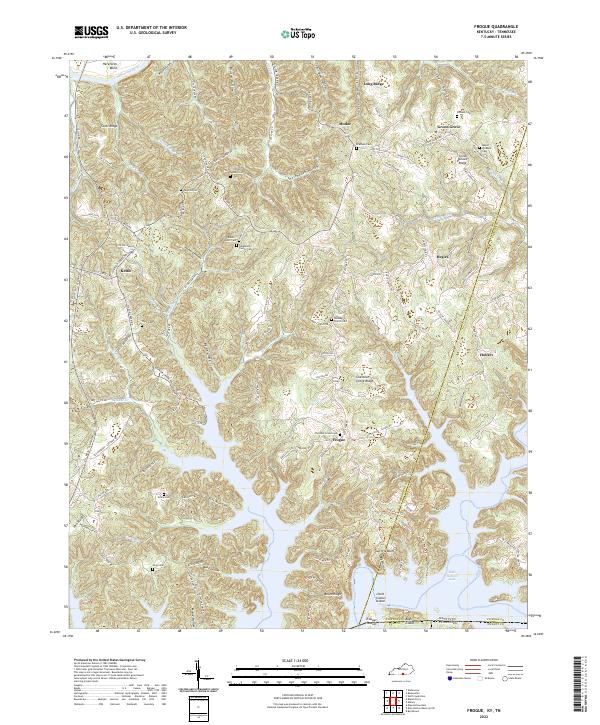
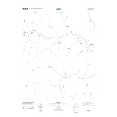
2022 Frogue
Cumberland County, KY
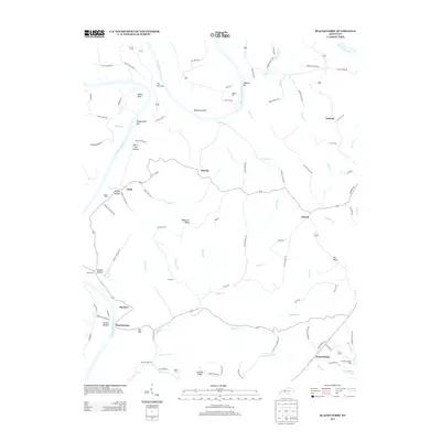
2022 Waterview
Cumberland County, KY