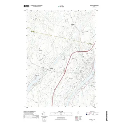
2018 Map of Waterville
USGS Topo · Published 2018About this map
Waterville sits at the heart of this Kennebec County landscape, where the Kennebec River and Messalonskee Stream converge to define the town's geography and industrial history. The map shows a region deeply rooted in education and transportation, featuring the sprawling campus of Colby College on Mayflower Hill and Thomas College to the south. The suburban and rural transition is evident as one moves from the dense street grid of Waterville toward Oakland and the crossroads of Fairfield Center.
Find a feature on this map
150 named features on this map. Tap any name to fly to it.
Don’t see what you’re looking for? This feature index may not catch every label — zoom into the map to look around manually.
Map Details
Editions of this 2018 Waterville Map
This is the sole edition of this map. No revisions or reprints were ever made.
Other maps of this area

1892 · Waterville
USGS Topo · 1:62,500

1892 · Augusta
USGS Topo · 1:62,500

1893 · Vassalboro
USGS Topo · 1:62,500

1894 · Norridgewock
USGS Topo · 1:62,500

1898 · Norridgewock
USGS Topo · 1:62,500

1898 · Vassalboro
USGS Topo · 1:62,500

1941 · Vassalboro
USGS Topo · 1:62,500

1941 · Augusta
USGS Topo · 1:62,500

1943 · Augusta
USGS Topo · 1:62,500

1943 · Vassalboro
USGS Topo · 1:62,500