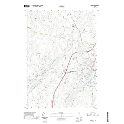
2021 Map of Waterville
USGS Topo · Published 2021About this map
Waterville stands as the central hub of this Kennebec County landscape, anchored by the significant academic campuses of Colby College on Mayflower Hill and Thomas College further south. The city's geography is defined by the convergence of major waterways, where the Messalonskee Stream winds toward its confluence with the Kennebec River. This survey details the urban infrastructure and sprawling industrial corridors, such as Industrial St, which contrast with the higher elevations of Hussey Hill and Wilcox Hill to the north and west.
Find a feature on this map
151 named features on this map. Tap any name to fly to it.
Don’t see what you’re looking for? This feature index may not catch every label — zoom into the map to look around manually.
Map Details
Editions of this 2021 Waterville Map
This is the sole edition of this map. No revisions or reprints were ever made.
Other maps of this area

1892 · Waterville
USGS Topo · 1:62,500

1892 · Augusta
USGS Topo · 1:62,500

1893 · Vassalboro
USGS Topo · 1:62,500

1894 · Norridgewock
USGS Topo · 1:62,500

1898 · Norridgewock
USGS Topo · 1:62,500

1898 · Vassalboro
USGS Topo · 1:62,500

1941 · Vassalboro
USGS Topo · 1:62,500

1941 · Augusta
USGS Topo · 1:62,500

1943 · Augusta
USGS Topo · 1:62,500

1943 · Vassalboro
USGS Topo · 1:62,500