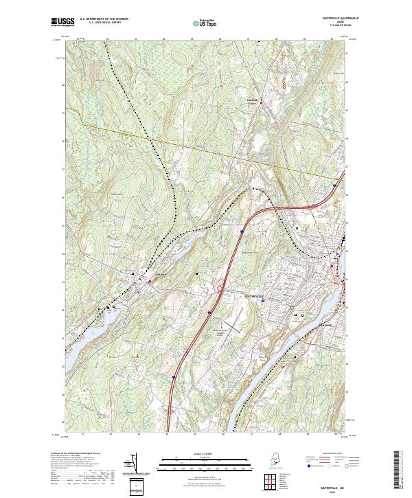
2024 Map of Waterville
USGS Topo · Published 2024About this map
The Kennebec River corridor defines this landscape, where the settlements of Waterville and Winslow face one another across the water. The regional importance of education is central to the area's layout, dominated by the campus of Colby College on Mayflower Hill and Thomas College further south. Modern transportation infrastructure is well-established, featuring the Waterville Robert Lafleur Airport and the active lines of the Pan Am Railways.
Find a feature on this map
158 named features on this map. Tap any name to fly to it.
Don’t see what you’re looking for? This feature index may not catch every label — zoom into the map to look around manually.
Map Details
Editions of this 2024 Waterville Map
This is the sole edition of this map. No revisions or reprints were ever made.
Other maps of this area

1892 · Waterville
USGS Topo · 1:62,500

1892 · Augusta
USGS Topo · 1:62,500

1893 · Vassalboro
USGS Topo · 1:62,500

1894 · Norridgewock
USGS Topo · 1:62,500

1898 · Norridgewock
USGS Topo · 1:62,500

1898 · Vassalboro
USGS Topo · 1:62,500

1941 · Vassalboro
USGS Topo · 1:62,500

1941 · Augusta
USGS Topo · 1:62,500

1943 · Augusta
USGS Topo · 1:62,500

1943 · Vassalboro
USGS Topo · 1:62,500