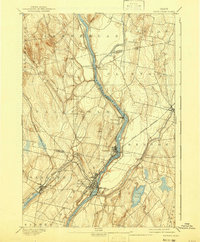
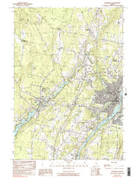
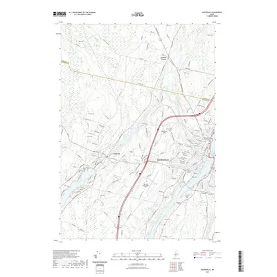
1943 Map of Waterville
USGS Topo · Published 1943About this map
The Kennebec River corridor defines the industrial and educational heart of central Maine in this early 1940s survey. Waterville serves as the primary hub, where the Maine Central Railroad and Somerset Railroad converge to support a bustling river-side economy. On the western edge of the city, Colby College occupies Mayflower Hill, while the Central Maine Sanatorium sits further north along the river near Fairfield.
Find a feature on this map
73 named features on this map. Tap any name to fly to it.
Don’t see what you’re looking for? This feature index may not catch every label — zoom into the map to look around manually.
Map Details
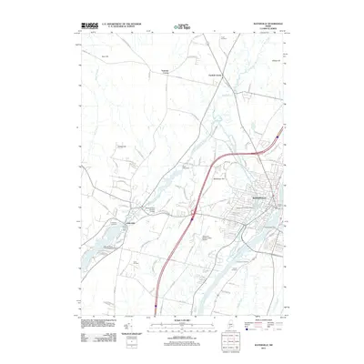
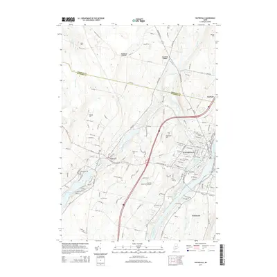
Editions of this 1943 Waterville Map
2 editions found
Historical Maps of Waterville Through Time
9 maps found
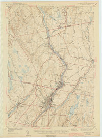
1892 Waterville
Kennebec County, ME
1943 Waterville
Kennebec County, ME
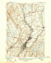
1957 Waterville
Kennebec County, ME
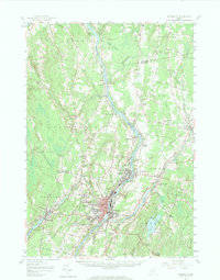
1982 Waterville
Kennebec County, ME
2011 Waterville
Kennebec County, ME
2014 Waterville
Kennebec County, ME
2018 Waterville
Kennebec County, ME
2021 Waterville
Kennebec County, ME
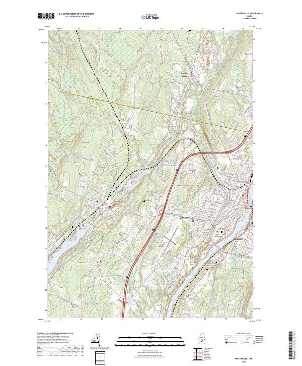
2024 Waterville
Kennebec County, ME