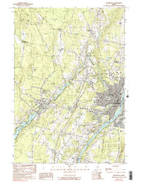
1982 Map of Waterville
USGS Topo · Published 1990About this map
Waterville and Winslow sit at the confluence of the Kennebec River, Sebasticook River, and Messalonskee Stream, forming a significant Maine industrial and educational corridor in the early 1980s. The landscape is defined by the tracks of the Maine Central Railroad and the institutional footprints of Colby College on its prominent hill and Thomas College further south near the Waterville Robert Lafleur Airport. In Oakland, the map details the transition from the shores of Messalonskee Lake to the town center, while smaller outlying points like Toulouse Corner and Fairfield Center indicate the rural settlement patterns of Kennebec Co and Somerset Co. Researchers will find a high density of community landmarks, from the Thayer Hospital and Kennebec Valley Vocational Tech Inst to several historic burial grounds including Lakeview Cem and Pine Grove Cem.
Find a feature on this map
49 named features on this map. Tap any name to fly to it.
Don’t see what you’re looking for? This feature index may not catch every label — zoom into the map to look around manually.
Map Details
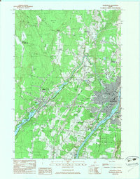
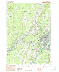
Editions of this 1982 Waterville Map
3 editions found
Other maps of this area

1892 · Waterville
USGS Topo · 1:62,500

1892 · Augusta
USGS Topo · 1:62,500

1893 · Vassalboro
USGS Topo · 1:62,500

1894 · Norridgewock
USGS Topo · 1:62,500

1898 · Norridgewock
USGS Topo · 1:62,500

1898 · Vassalboro
USGS Topo · 1:62,500

1941 · Vassalboro
USGS Topo · 1:62,500

1941 · Augusta
USGS Topo · 1:62,500

1943 · Augusta
USGS Topo · 1:62,500

1943 · Vassalboro
USGS Topo · 1:62,500