Loading...
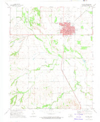
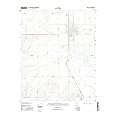
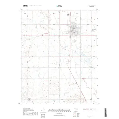
Loading map...1985 Map of Watonga
USGS Topo · Published 1990About this map
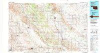
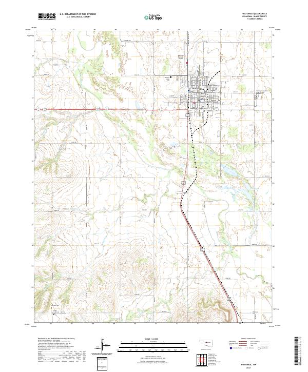
The Canadian River and its northern fork carve a diagonal path through this 1980s landscape, defining the boundaries and agricultural patterns of west-central Oklahoma. This survey captures a transitional period for the region's educational and conservation infrastructure, featuring the campus of Southwestern State College in the south and the Darlington State Game Bird Hatchery to the east. The terrain is marked by distinctive geological features like The Mound and Cheyenne Butte, which rise above the surrounding plains.
Find a feature on this map
53 named features on this map. Tap any name to fly to it.
Don’t see what you’re looking for? This feature index may not catch every label — zoom into the map to look around manually.
Map Details
Date Portrayed1985
Date Published1990
PublisherU.S. Geological Survey
Map TypeTopographic
Scale1:100,000
Physical Dimensions45.2 x 24 inches
Editions of this 1985 Watonga Map
2 editions found

Historical Maps of El Reno Through Time
7 maps found
Featured Locations
Source Details
SourceU.S. Geological Survey
CopyrightPublic Domain