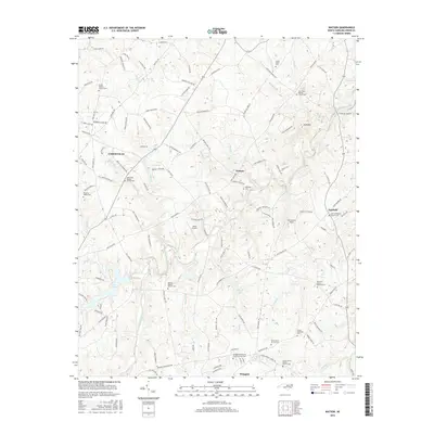
2016 Map of Watson
USGS Topo · Published 2016About this map
Unionville and the town of Wingate anchor this portrait of Union County's agricultural and rural residential character. The landscape is defined by the dendritic drainage of Richardson Creek and its many tributaries, including Watson Creek, Grassy Creek, and Salem Creek. This network of waterways influenced the local road system, where routes like Sikes Mill Road and Haigler Gin Road hint at the area's milling and cotton history.
Find a feature on this map
132 named features on this map. Tap any name to fly to it.
Don’t see what you’re looking for? This feature index may not catch every label — zoom into the map to look around manually.
Map Details
Editions of this 2016 Watson Map
This is the sole edition of this map. No revisions or reprints were ever made.
Other maps of this area

1941 · Charlotte
USGS Topo · 1:125,000

1941 · Spartanburg
USGS Topo · 1:250,000

1942 · Charlotte
USGS Topo · 1:125,000

1949 · Midland
USGS Topo · 1:24,000

1953 · Spartanburg
USGS Topo · 1:250,000

1953 · Charlotte
USGS Topo · 1:250,000

1954 · Charlotte
USGS Topo · 1:250,000

1960 · Charlotte
USGS Topo · 1:250,000

1960 · Spartanburg
USGS Topo · 1:250,000

1962 · Charlotte
USGS Topo · 1:250,000