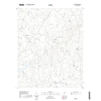
2019 Map of Watson
USGS Topo · Published 2019About this map
Unionville and the community of Watson anchor this North Carolina landscape, where small-town life is defined by a dense network of family-named roads and rural congregations. The topography is marked by notable elevations such as Polk Mtn and the local landmark Bachelors Knob Rd, while the waterways of Richardson Creek and Little Miller Cr drain the central territory.
Find a feature on this map
129 named features on this map. Tap any name to fly to it.
Don’t see what you’re looking for? This feature index may not catch every label — zoom into the map to look around manually.
Map Details
Editions of this 2019 Watson Map
This is the sole edition of this map. No revisions or reprints were ever made.
Other maps of this area

1941 · Charlotte
USGS Topo · 1:125,000

1941 · Spartanburg
USGS Topo · 1:250,000

1942 · Charlotte
USGS Topo · 1:125,000

1949 · Midland
USGS Topo · 1:24,000

1953 · Spartanburg
USGS Topo · 1:250,000

1953 · Charlotte
USGS Topo · 1:250,000

1954 · Charlotte
USGS Topo · 1:250,000

1960 · Charlotte
USGS Topo · 1:250,000

1960 · Spartanburg
USGS Topo · 1:250,000

1962 · Charlotte
USGS Topo · 1:250,000