Loading...
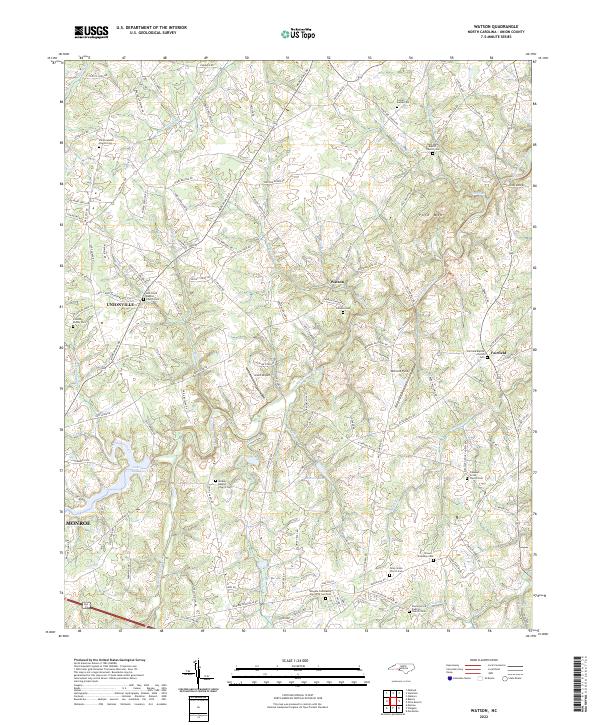
Loading map...2022 Map of Watson
USGS Topo · Published 2022About this map
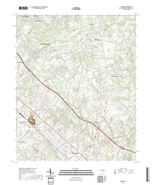
Richardson Creek and its many tributaries, including Grassy Cr and Chinkapin Creek, define the rolling landscape of central Union County. The area is anchored by the crossroads of Unionville and Watson, with the northern edge of Monroe appearing in the southwest. This modern-day survey reveals a densely settled rural network where family legacy is preserved in numerous small burial grounds and parish centers, such as the Josiah Austin Cem and Shiloh Advent Church Cem.
Find a feature on this map
130 named features on this map. Tap any name to fly to it.
Don’t see what you’re looking for? This feature index may not catch every label — zoom into the map to look around manually.
Map Details
Date Portrayed2022
Date Published2022
PublisherU.S. Geological Survey
Map TypeTopographic
Scale1:24000
Physical Dimensions24 x 29 inches
Editions of this 2022 Watson Map
This is the sole edition of this map. No revisions or reprints were ever made.
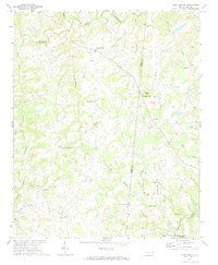
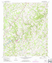
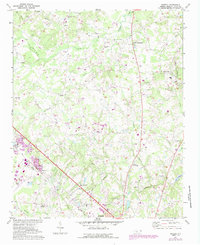
Historical Maps of Unionville Through Time
6 maps found
Featured Locations
Source Details
SourceU.S. Geological Survey
CopyrightPublic Domain