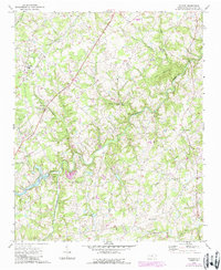
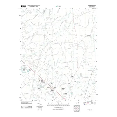
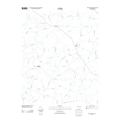
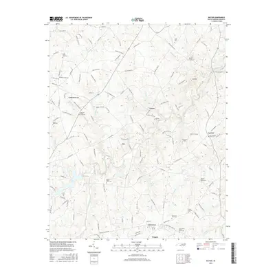
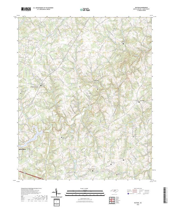
1970 Map of Watson
USGS Topo · Published 1987About this map
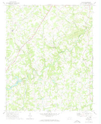
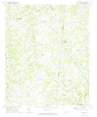
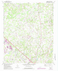
Richardson Creek and its many tributaries, such as Watson Creek and Stewarts Creek, define the rolling Piedmont landscape of Union County. This era of the late twentieth century shows a community structured around rural intersections and congregational centers, with several prominent churches like Shiloh Ch and New Hope Ch serving as focal points for local genealogy. The presence of Piedmont High Sch and a local Landing Strip indicate the area's mid-century modernization, while the terrain remains punctuated by features like Polk Mountain. Small settlements such as Watson and Fairfield are mapped alongside essential infrastructure, including a Filtration Plant and Sewage Disposal Pond, reflecting the growing utility needs of these developing North Carolina communities.
Find a feature on this map
34 named features on this map. Tap any name to fly to it.
Don’t see what you’re looking for? This feature index may not catch every label — zoom into the map to look around manually.
Map Details
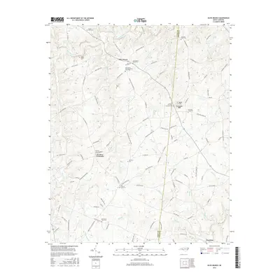
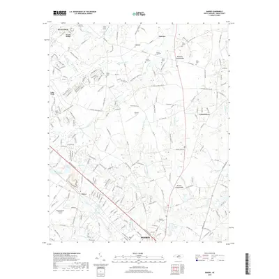
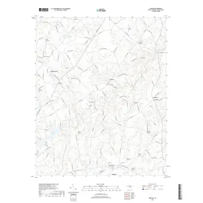
Editions of this 1970 Watson Map
2 editions found
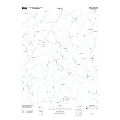
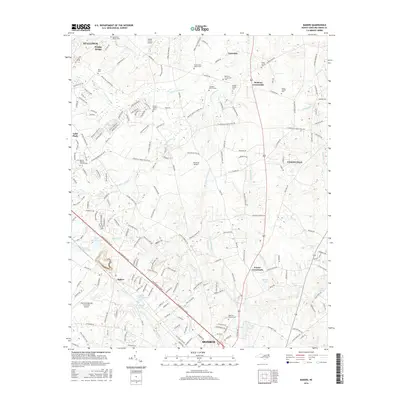
Historical Maps of Monroe Through Time
18 maps found
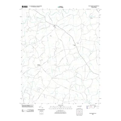
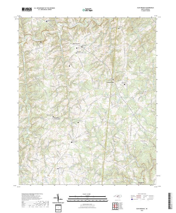
1970 Olive Branch
Union County, NC
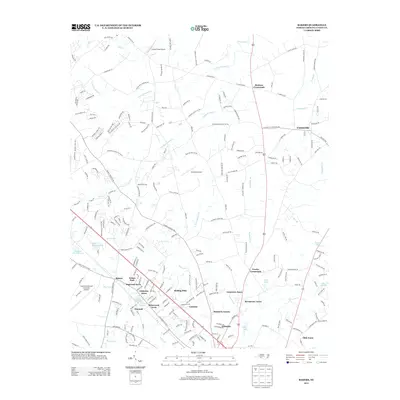
1970 Watson
Union County, NC
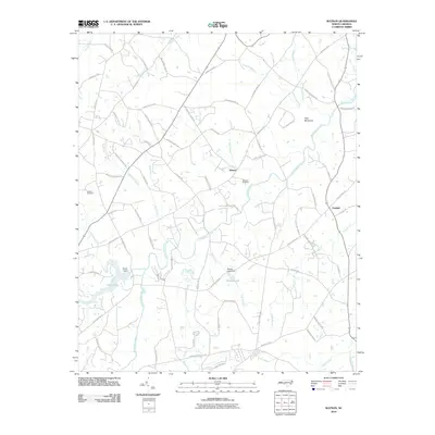
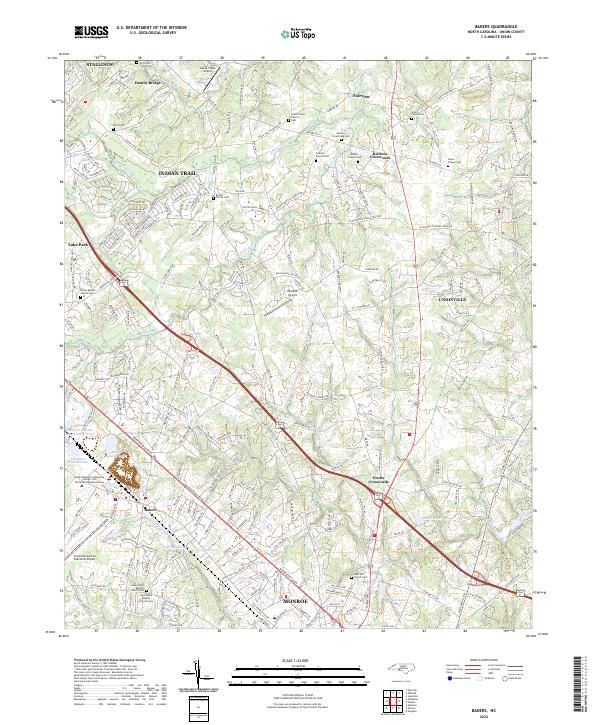
1971 Bakers
Union County, NC
2010 Bakers
Union County, NC
2010 Olive Branch
Union County, NC
2010 Watson
Union County, NC
2013 Bakers
Union County, NC
2013 Olive Branch
Union County, NC
2013 Watson
Union County, NC
2016 Bakers
Union County, NC
2016 Olive Branch
Union County, NC
2016 Watson
Union County, NC
2019 Bakers
Union County, NC
2019 Olive Branch
Union County, NC
2019 Watson
Union County, NC
2022 Bakers
Union County, NC
2022 Olive Branch
Union County, NC
2022 Watson
Union County, NC