Loading...
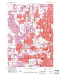
Loading map...2022 Map of Wauwatosa
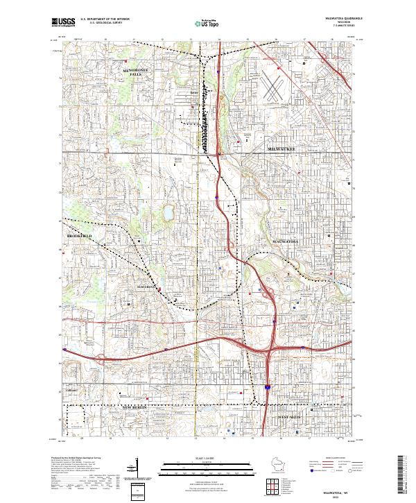
USGS Topo · Published 2022About this map
Wauwatosa and its surrounding western Milwaukee suburbs are captured here at a point of high-density residential and institutional maturity. The landscape is defined by the winding course of the Menomonee River and Underwood Creek, which historically dictated the growth of early villages like Elm Grove and Butler. Significant acreage is dedicated to institutional history and memory, including the expansive Wisconsin Memorial Park Cem and the Milwaukee County Asylum Cem.
Find a feature on this map
60 named features on this map. Tap any name to fly to it.
Don’t see what you’re looking for? This feature index may not catch every label — zoom into the map to look around manually.
Map Details
Date Portrayed2022
Date Published2022
PublisherU.S. Geological Survey
Map TypeTopographic
Scale1:24000
Physical Dimensions24 x 29 inches
Editions of this 2022 Wauwatosa Map
This is the sole edition of this map. No revisions or reprints were ever made.
Historical Maps of Milwaukee County Through Time
Featured Locations
Source Details
SourceU.S. Geological Survey
CopyrightPublic Domain