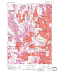
1958 Map of Wauwatosa
USGS Topo · Published 1994About this map
The Menomonee River and Underwood Creek drain this landscape where the suburban expansion of western Milwaukee meets the developing edges of Waukesha County. Based on 1950s surveys with late-century urban revisions, the map reveals the dense institutional and educational infrastructure defining Wauwatosa and West Allis, including the sprawling Milwaukee County Institutions complex and Mount Mary College.
Find a feature on this map
119 named features on this map. Tap any name to fly to it.
Don’t see what you’re looking for? This feature index may not catch every label — zoom into the map to look around manually.
Map Details
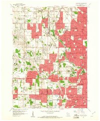
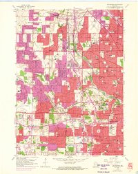
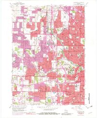
Editions of this 1958 Wauwatosa Map
4 editions found
Other maps of this area

1891 · Bayview
USGS Topo · 1:62,500

1891 · Muskego
USGS Topo · 1:62,500

1892 · Milwaukee
USGS Topo · 1:62,500

1892 · Waukesha
USGS Topo · 1:62,500

1901 · Milwaukee
USGS Topo · 1:62,500

1901 · Waukesha
USGS Topo · 1:62,500

1901 · Bayview
USGS Topo · 1:62,500

1901 · Muskego
USGS Topo · 1:62,500

1906 · Waukesha
USGS Topo · 1:62,500

1906 · Milwaukee
USGS Topo · 1:62,500