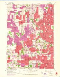
1958 Map of Wauwatosa
USGS Topo · Published 1973About this map
The Menomonee River and Underwood Creek define the natural drainage of this mid-century suburban landscape, where the rapidly expanding borders of Milwaukee and Wauwatosa meet the developing residential tracts of Brookfield and New Berlin. This survey documents a critical period of urban growth, with significant purple-tinted revisions showing the 1971 expansion of residential areas into former agricultural lands. The map is a dense record of community infrastructure, from the sprawling campus of the Milwaukee County Institutions to a heavy concentration of parochial schools and religious sites like the Notre Dame Convent and Mount Mary College. Transport networks are transitioning from the traditional rail lines of the Chicago and North Western to a modern road grid featuring Watertown Plank Rd and Bluemound Rd, while landmarks like the Drive-in Theater and Zoological Park signal the era's recreational shift.
Find a feature on this map
111 named features on this map. Tap any name to fly to it.
Don’t see what you’re looking for? This feature index may not catch every label — zoom into the map to look around manually.
Map Details
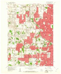
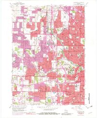
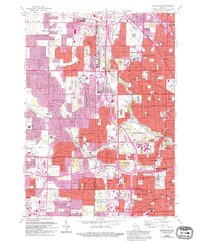
Editions of this 1958 Wauwatosa Map
4 editions found
Other maps of this area

1891 · Bayview
USGS Topo · 1:62,500

1891 · Muskego
USGS Topo · 1:62,500

1892 · Milwaukee
USGS Topo · 1:62,500

1892 · Waukesha
USGS Topo · 1:62,500

1901 · Milwaukee
USGS Topo · 1:62,500

1901 · Waukesha
USGS Topo · 1:62,500

1901 · Bayview
USGS Topo · 1:62,500

1901 · Muskego
USGS Topo · 1:62,500

1906 · Waukesha
USGS Topo · 1:62,500

1906 · Milwaukee
USGS Topo · 1:62,500