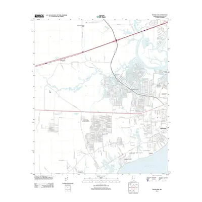
2012 Map of Waveland
USGS Topo · Published 2012About this map
Waveland and the surrounding coastal communities of Jackson Ridge and Clermont Harbor sit at the intersection of Mississippi’s marshy bayous and the open Gulf of Mexico. The landscape is defined by its proximity to water, with the Jourdan River and Bayou la Croix winding through the lowlands, creating a network of tidal inlets like Cutoff Bayou and Jackson Marsh. This era shows significant infrastructure development along the coast, evidenced by the presence of Stennis International Airport and the heavy residential grid of Shoreline Park.
Find a feature on this map
51 named features on this map. Tap any name to fly to it.
Don’t see what you’re looking for? This feature index may not catch every label — zoom into the map to look around manually.
Map Details
Editions of this 2012 Waveland Map
This is the sole edition of this map. No revisions or reprints were ever made.
Other maps of this area

1893 · Rigolets
USGS Topo · 1:62,500

1893 · Toulme
USGS Topo · 1:62,500

1914 · Nicholson
USGS Topo · 1:62,500

1921 · Nicholson
USGS Topo · 1:62,500

1935 · English Lookout
USGS Topo · 1:31,680

1935 · Grand Island Pass
USGS Topo · 1:31,680

1936 · Rigolets
USGS Topo · 1:62,500

1949 · Grand Island Pass
USGS Topo · 1:31,680

1953 · Mobile
USGS Topo · 1:250,000
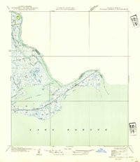
1954 · English Lookout
USGS Topo · 1:31,680