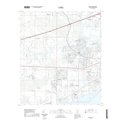
2021 Map of Waveland
USGS Topo · Published 2021About this map
The coastal interface of Hancock County is defined by a dense network of bayous and residential growth just inland from the Mississippi Sound. The Jourdan River winds through the northern portion of the region, creating a complex hydrology of tidal channels including Cutoff Bayou and Umbrella Bayou. This area serves as a significant aviation hub, featuring both the Stennis International Airport and the Diamondhead Airport, reflecting the infrastructure needed to support the expanding coastal communities.
Find a feature on this map
257 named features on this map. Tap any name to fly to it.
Don’t see what you’re looking for? This feature index may not catch every label — zoom into the map to look around manually.
Map Details
Editions of this 2021 Waveland Map
This is the sole edition of this map. No revisions or reprints were ever made.
Other maps of this area

1893 · Rigolets
USGS Topo · 1:62,500

1893 · Toulme
USGS Topo · 1:62,500

1914 · Nicholson
USGS Topo · 1:62,500

1921 · Nicholson
USGS Topo · 1:62,500

1935 · English Lookout
USGS Topo · 1:31,680

1935 · Grand Island Pass
USGS Topo · 1:31,680

1936 · Rigolets
USGS Topo · 1:62,500

1949 · Grand Island Pass
USGS Topo · 1:31,680

1953 · Mobile
USGS Topo · 1:250,000
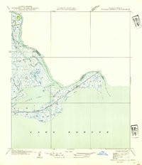
1954 · English Lookout
USGS Topo · 1:31,680