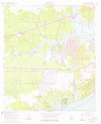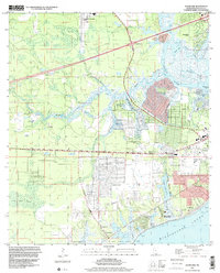
1997 Map of Waveland
USGS Topo · Published 1999About this map
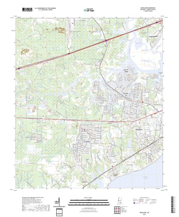
The coastal landscape of Hancock County meets the Mississippi Sound here, defined by a complex network of wetlands and bayous. In the 1990s, the development of Bayside Park and the waterfront community of Clermont Harbor stood in contrast to the marshy expanses of Lower Devils Swamp. The coastal economy is reflected in the leisure and infrastructure hubs of Buccaneer State Park and Stennis International Airport, while the CSX Transportation rail line provides a vital industrial artery through the marsh. Residential and spiritual life are anchored by the Holy Cross Ch and St Johns Ch, alongside the Gulf View Sch. Interesting historical boundaries are present, notably the George Mares Claim near Lakeshore, a remnant of colonial-era land grants that survived into the modern survey era.
Find a feature on this map
44 named features on this map. Tap any name to fly to it.
Don’t see what you’re looking for? This feature index may not catch every label — zoom into the map to look around manually.
Map Details
Editions of this 1997 Waveland Map
This is the sole edition of this map. No revisions or reprints were ever made.
Historical Maps of Diamondhead Through Time
7 maps found