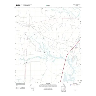
2011 Map of Waverly
USGS Topo · Published 2011About this map
The coastal plains of Camden County are defined here by an intricate web of tidal creeks and marshes, most notably the meandering White Oak Creek and the Little Satilla River in the northeast. The small settlements of Waverly, Spring Bluff, and White Oak anchor the terrestrial landscape, connected by a network of local roads including the storied Old Dixie Hwy and Old Spring Bluff Rd. This 2011 survey reveals a geography of named islands and low bluffs—such as Gowrie Island, Hull Island, and Red Bluff—rising just above the wetlands.
Find a feature on this map
52 named features on this map. Tap any name to fly to it.
Don’t see what you’re looking for? This feature index may not catch every label — zoom into the map to look around manually.
Map Details
Editions of this 2011 Waverly Map
This is the sole edition of this map. No revisions or reprints were ever made.
Other maps of this area

1917 · Nahunta
USGS Topo · 1:62,500

1917 · Boulogne
USGS Topo · 1:62,500

1918 · Nahunta
USGS Topo · 1:62,500

1918 · Bladen
USGS Topo · 1:62,500

1918 · Kingsland
USGS Topo · 1:62,500

1919 · Boulogne
USGS Topo · 1:62,500

1939 · Bladen
USGS Topo · 1:62,500

1946 · Brunswick
USGS Topo · 1:250,000

1948 · Jacksonville
USGS Topo · 1:250,000

1948 · Brunswick
USGS Topo · 1:250,000