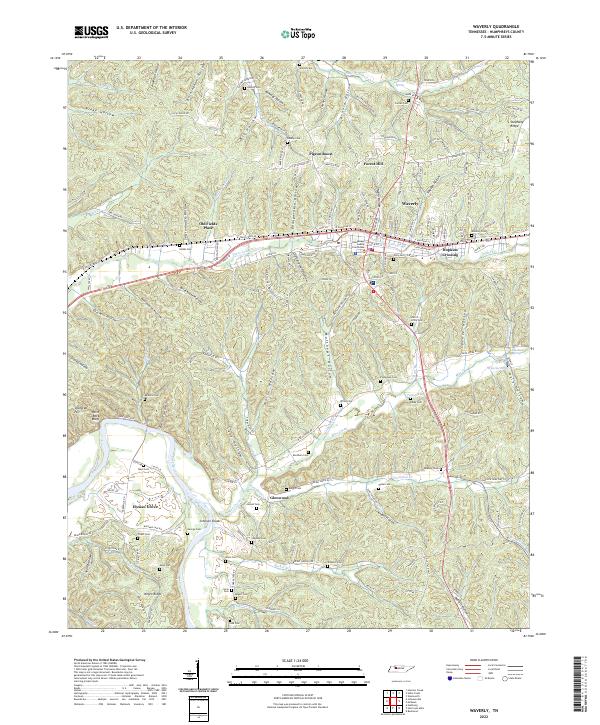
2022 Map of Waverly
USGS Topo · Published 2022About this map
The Humphreys County Courthouse serves as the focal point for Waverly, Tennessee, situated along the east-west corridor of Trace Creek. This modern survey reveals a landscape deeply carved by numerous hollows, such as Pennywinkle Hollow, Brickhouse Hollow, and Sectionhouse Hollow, which influence the local road network and settlement patterns. To the south, the Duck River winds through the terrain near Elysian Grove, where smaller communities like Glenwood and the landmark Negro Ridge appear.
Find a feature on this map
163 named features on this map. Tap any name to fly to it.
Don’t see what you’re looking for? This feature index may not catch every label — zoom into the map to look around manually.
Map Details
Editions of this 2022 Waverly Map
This is the sole edition of this map. No revisions or reprints were ever made.
Other maps of this area

1936 · Gorman
USGS Topo · 1:24,000

1936 · Hurricane Mills
USGS Topo · 1:24,000

1936 · Woolworth
USGS Topo · 1:24,000

1936 · Bucksnort
USGS Topo · 1:24,000

1936 · Halls Creek
USGS Topo · 1:24,000

1936 · Johnsonville
USGS Topo · 1:24,000

1936 · Harmon Creek
USGS Topo · 1:24,000

1936 · Waverly
USGS Topo · 1:24,000

1936 · Hustburg
USGS Topo · 1:24,000

1949 · Harmon Creek
USGS Topo · 1:24,000