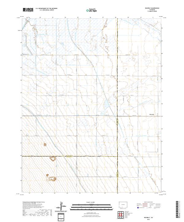
2022 Map of Waverly
USGS Topo · Published 2022About this map
Hydrological engineering defines the landscape of the San Luis Valley, where an intricate network of man-made waterways supports the high-altitude agriculture of Rio Grande, Alamosa, and Conejos counties. The small settlement of Waverly sits at the junction of several major irrigation systems, illustrating the area's historical reliance on gravity-fed water management. Prominent arteries like the Monte Vista Canal and the Empire Canal traverse the terrain, while specialized infrastructure such as the Denver Colony Lateral and Carmel Drain Ditch indicate localized drainage and distribution efforts. This 2022 survey captures a rural environment structured by its road grid, which often runs parallel to these essential ditches. Smaller named features, including the Spruce Lawn Ditch and Sanderson Ditch, provide fine-grained detail for researchers tracing land use and the development of water rights in this distinctive Colorado basin.
Find a feature on this map
49 named features on this map. Tap any name to fly to it.
Don’t see what you’re looking for? This feature index may not catch every label — zoom into the map to look around manually.
Map Details
Editions of this 2022 Waverly Map
This is the sole edition of this map. No revisions or reprints were ever made.
Other maps of this area

1915 · Del Norte
USGS Topo · 1:125,000

1917 · Del Norte
USGS Topo · 1:125,000

1922 · Conejos
USGS Topo · 1:125,000

1945 · Durango
USGS Topo · 1:250,000

1953 · Durango
USGS Topo · 1:250,000

1954 · Durango
USGS Topo · 1:250,000

1954 · Trinidad
USGS Topo · 1:250,000

1955 · Trinidad
USGS Topo · 1:250,000

1958 · Trinidad
USGS Topo · 1:250,000

1959 · Trinidad
USGS Topo · 1:250,000