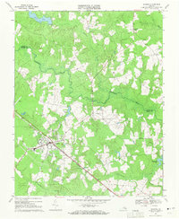
1969 Map of Waverly
USGS Topo · Published 1971About this map
Waverly serves as the primary hub of activity in this 1969 snapshot of the Virginia tidewater, where the Norfolk and Western railroad corridor shapes the town's industrial and residential footprint. The landscape beyond the town is defined by a dense network of blackwater systems, including Otterdam Swamp, Coppahaunk Swamp, and Johnchecohunk Swamp, which weave through the timberlands toward the Blackwater River. These wetlands dictated early settlement patterns, leaving small communities like Carsley and Gwaltney Corner on the higher ground.
Find a feature on this map
23 named features on this map. Tap any name to fly to it.
Don’t see what you’re looking for? This feature index may not catch every label — zoom into the map to look around manually.
Map Details
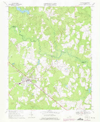
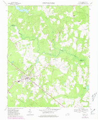
Editions of this 1969 Waverly Map
Other maps of this area

1919 · Surry
USGS Topo · 1:62,500

1919 · Disputanta
USGS Topo · 1:62,500

1919 · Homeville
USGS Topo · 1:48,000

1920 · Ivor
USGS Topo · 1:62,500

1920 · Homeville
USGS Topo · 1:62,500

1943 · Manry
USGS Topo · 1:31,680

1943 · Littleton
USGS Topo · 1:31,680

1943 · Savedge
USGS Topo · 1:31,680

1943 · Disputanta
USGS Topo · 1:31,680

1943 · Richmond
USGS Topo · 1:250,000