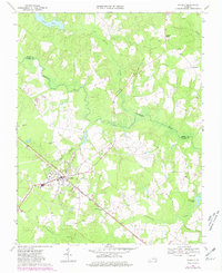
1969 Map of Waverly
USGS Topo · Published 1981About this map
Waverly serves as the primary hub of this landscape, situated at the intersection of several regional routes and the Norfolk and Western railway. The town's layout includes a prominent Water Tank and a Sewage Disposal facility, reflecting the infrastructure of the late 1960s. To the north and east, the terrain transitions into a dense network of wetlands, characterized by the winding Blackwater River and the sprawling reaches of Otterdam Swamp and Johnchecohunk Swamp.
Find a feature on this map
24 named features on this map. Tap any name to fly to it.
Don’t see what you’re looking for? This feature index may not catch every label — zoom into the map to look around manually.
Map Details
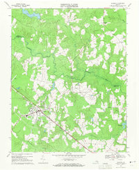
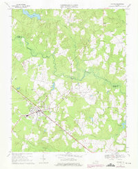
Editions of this 1969 Waverly Map
Other maps of this area

1919 · Surry
USGS Topo · 1:62,500

1919 · Disputanta
USGS Topo · 1:62,500

1919 · Homeville
USGS Topo · 1:48,000

1920 · Ivor
USGS Topo · 1:62,500

1920 · Homeville
USGS Topo · 1:62,500

1943 · Manry
USGS Topo · 1:31,680

1943 · Littleton
USGS Topo · 1:31,680

1943 · Savedge
USGS Topo · 1:31,680

1943 · Disputanta
USGS Topo · 1:31,680

1943 · Richmond
USGS Topo · 1:250,000