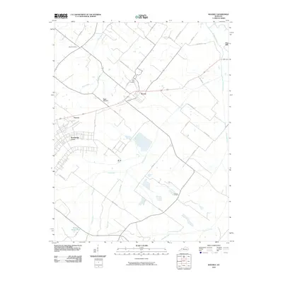
2010 Map of Waverly
USGS Topo · Published 2010About this map
Waverly serves as the central hub of this Union County landscape, where the road network branches out toward surrounding agricultural communities like Saint Vincent and Flournoy. The topography is defined by a dendritic drainage system featuring Highland Creek and Casey Creek, which carve through the terrain and influence the placement of early homesteads and cemeteries. The large complex at Breckinridge Center dominates the western portion of the map, illustrating the evolution of land use in the 21st century. Genealogists will find significant value in the detailed location of burial sites such as Saint Peters Cemetery, Highland Cemetery, and McClure Cemetery, often situated near historic family road names like J W Berry Rd and T L Bishop Rd. In the northeast corner, the settlement of King Mills sits near the winding course of Rock Creek, marking a point of historical industry along the water's edge.
Find a feature on this map
36 named features on this map. Tap any name to fly to it.
Don’t see what you’re looking for? This feature index may not catch every label — zoom into the map to look around manually.
Map Details
Editions of this 2010 Waverly Map
This is the sole edition of this map. No revisions or reprints were ever made.
Other maps of this area

1906 · Sebree
USGS Topo · 1:62,500

1907 · Morganfield
USGS Topo · 1:62,500

1914 · Henderson
USGS Topo · 1:48,000

1916 · Henderson
USGS Topo · 1:62,500

1917 · Uniontown
USGS Topo · 1:62,500

1949 · Morganfield
USGS Topo · 1:24,000

1949 · Poole
USGS Topo · 1:24,000

1951 · Dixon
USGS Topo · 1:24,000

1951 · Poole
USGS Topo · 1:24,000

1951 · Waverly
USGS Topo · 1:24,000