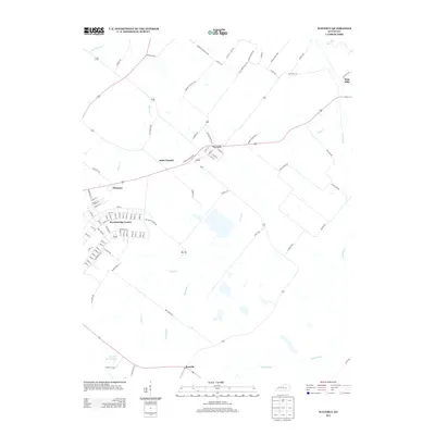
2013 Map of Waverly
USGS Topo · Published 2013About this map
Waverly and the surrounding Union County countryside are defined by a complex web of rural roads and meandering waterways in this early 21st-century landscape. The small settlement of Saint Vincent sits west of Waverly along the highway, while the structured residential grid of Breckinridge Center stands out as a significant pocket of development south of Flournoy. The topography is shaped by various drainages, including Mason Cr, Casey Cr, and Anderson Cr, which carve through the farmland to create a patchwork of agricultural fields and woodlots.
Find a feature on this map
97 named features on this map. Tap any name to fly to it.
Don’t see what you’re looking for? This feature index may not catch every label — zoom into the map to look around manually.
Map Details
Editions of this 2013 Waverly Map
This is the sole edition of this map. No revisions or reprints were ever made.
Other maps of this area

1906 · Sebree
USGS Topo · 1:62,500

1907 · Morganfield
USGS Topo · 1:62,500

1914 · Henderson
USGS Topo · 1:48,000

1916 · Henderson
USGS Topo · 1:62,500

1917 · Uniontown
USGS Topo · 1:62,500

1949 · Morganfield
USGS Topo · 1:24,000

1949 · Poole
USGS Topo · 1:24,000

1951 · Dixon
USGS Topo · 1:24,000

1951 · Poole
USGS Topo · 1:24,000

1951 · Waverly
USGS Topo · 1:24,000