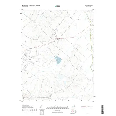
2019 Map of Waverly
USGS Topo · Published 2019About this map
Waverly and its surrounding rural landscapes in Union County define this area of Western Kentucky. The terrain is structured by the drainage of Highland Cr and Casey Cr, creating a pattern of small settlements and family farms linked by a network of local roads such as Waverly Hitesville Rd and Roberts Rd. To the west, Morganfield and Breckinridge Center show more concentrated development, while the southern reaches near Boxville maintain a distinct agricultural character.
Find a feature on this map
67 named features on this map. Tap any name to fly to it.
Don’t see what you’re looking for? This feature index may not catch every label — zoom into the map to look around manually.
Map Details
Editions of this 2019 Waverly Map
This is the sole edition of this map. No revisions or reprints were ever made.
Other maps of this area

1906 · Sebree
USGS Topo · 1:62,500

1907 · Morganfield
USGS Topo · 1:62,500

1914 · Henderson
USGS Topo · 1:48,000

1916 · Henderson
USGS Topo · 1:62,500

1917 · Uniontown
USGS Topo · 1:62,500

1949 · Morganfield
USGS Topo · 1:24,000

1949 · Poole
USGS Topo · 1:24,000

1951 · Dixon
USGS Topo · 1:24,000

1951 · Poole
USGS Topo · 1:24,000

1951 · Waverly
USGS Topo · 1:24,000