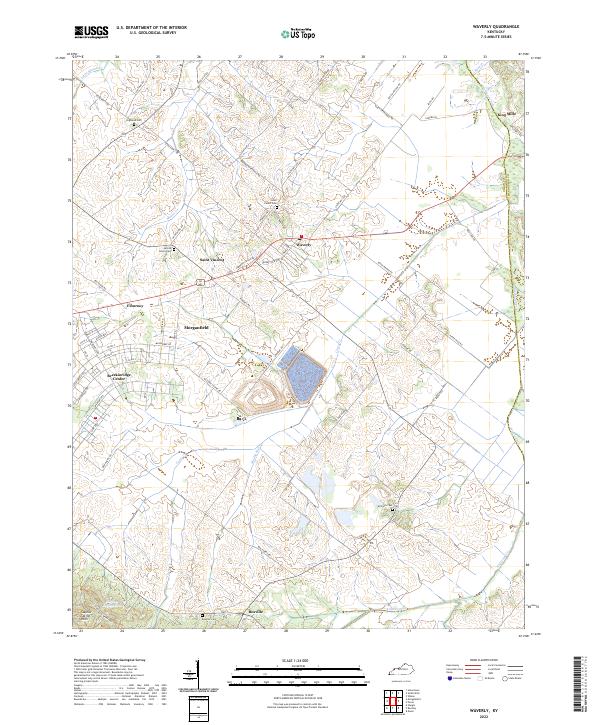
2022 Map of Waverly
USGS Topo · Published 2022About this map
The agricultural uplands of Union County and Henderson County define this landscape, where the traditional settlement patterns of western Kentucky remain visible. Small communities such as Saint Vincent and Waverly anchor a network of rural roads that often follow the ridgelines between drainage basins. Local family history is well-preserved through numerous burial sites including Saint Peters Cem, Sacred Heart Cem, and the more remote McClure Cem near the banks of Muddy Run.
Find a feature on this map
73 named features on this map. Tap any name to fly to it.
Don’t see what you’re looking for? This feature index may not catch every label — zoom into the map to look around manually.
Map Details
Editions of this 2022 Waverly Map
This is the sole edition of this map. No revisions or reprints were ever made.
Other maps of this area

1906 · Sebree
USGS Topo · 1:62,500

1907 · Morganfield
USGS Topo · 1:62,500

1914 · Henderson
USGS Topo · 1:48,000

1916 · Henderson
USGS Topo · 1:62,500

1917 · Uniontown
USGS Topo · 1:62,500

1949 · Morganfield
USGS Topo · 1:24,000

1949 · Poole
USGS Topo · 1:24,000

1951 · Dixon
USGS Topo · 1:24,000

1951 · Poole
USGS Topo · 1:24,000

1951 · Waverly
USGS Topo · 1:24,000