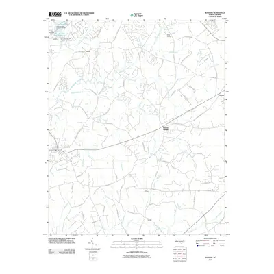
2010 Map of Waxhaw
USGS Topo · Published 2010About this map
Waxhaw and Mineral Springs serve as the primary hubs in this part of Union County, where the landscape is defined by the branching tributaries of West Fork Twelvemile Creek and East Fork Twelvemile Creek. The area maintains a rural-residential character with numerous small water bodies, including Aero Plantation Lake Number One and Aero Plantation Lake Number Two, supporting local landmarks like the Aero Plantation Airport.
Find a feature on this map
74 named features on this map. Tap any name to fly to it.
Don’t see what you’re looking for? This feature index may not catch every label — zoom into the map to look around manually.
Map Details
Editions of this 2010 Waxhaw Map
This is the sole edition of this map. No revisions or reprints were ever made.
Other maps of this area

1905 · Charlotte
USGS Topo · 1:48,000

1907 · Charlotte
USGS Topo · 1:62,500

1941 · Charlotte
USGS Topo · 1:125,000

1941 · Spartanburg
USGS Topo · 1:250,000

1942 · Charlotte
USGS Topo · 1:125,000

1953 · Spartanburg
USGS Topo · 1:250,000

1953 · Charlotte
USGS Topo · 1:250,000

1954 · Charlotte
USGS Topo · 1:250,000

1960 · Charlotte
USGS Topo · 1:250,000

1960 · Spartanburg
USGS Topo · 1:250,000