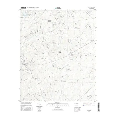
2016 Map of Waxhaw
USGS Topo · Published 2016About this map
Waxhaw and its surrounding communities in Union County appear as a landscape of rapid suburban development interwoven with traditional rural landmarks. The mapping captures the expansion of Weddington, Union, and Wesley Chapel at a time when newly named residential streets such as Skycroft Way and Verrazano Dr were beginning to dominate the former agricultural terrain. Despite this growth, the area's heritage remains visible in the high density of family and community burial grounds, from the Waxhaw City Cem to the isolated McWhorter Cem and Walker Cem.
Find a feature on this map
204 named features on this map. Tap any name to fly to it.
Don’t see what you’re looking for? This feature index may not catch every label — zoom into the map to look around manually.
Map Details
Editions of this 2016 Waxhaw Map
This is the sole edition of this map. No revisions or reprints were ever made.
Other maps of this area

1905 · Charlotte
USGS Topo · 1:48,000

1907 · Charlotte
USGS Topo · 1:62,500

1941 · Charlotte
USGS Topo · 1:125,000

1941 · Spartanburg
USGS Topo · 1:250,000

1942 · Charlotte
USGS Topo · 1:125,000

1953 · Spartanburg
USGS Topo · 1:250,000

1953 · Charlotte
USGS Topo · 1:250,000

1954 · Charlotte
USGS Topo · 1:250,000

1960 · Charlotte
USGS Topo · 1:250,000

1960 · Spartanburg
USGS Topo · 1:250,000