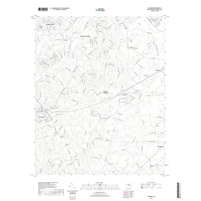
2019 Map of Waxhaw
USGS Topo · Published 2019About this map
Waxhaw and Mineral Springs anchor this detailed study of Union County, capturing the transition from traditional rural hubs to contemporary residential developments. The landscape is defined by the headwaters and branches of the Twelvemile Creek system, including W Fork Twelvemile Cr and E Fork Twelvemile Cr, which wind through a topography marked by significant genealogical sites. Numerous community landmarks are documented, such as the Mineral Springs United Methodist Church Cem and Waxhaw Church Cem. The presence of the Aero Plantation Airport near Weddington and various family-named burial grounds like Walker Cem and McWhorter Cem reflects the overlapping layers of colonial-era heritage and modern aviation infrastructure in this Piedmont region of North Carolina.
Find a feature on this map
218 named features on this map. Tap any name to fly to it.
Don’t see what you’re looking for? This feature index may not catch every label — zoom into the map to look around manually.
Map Details
Editions of this 2019 Waxhaw Map
This is the sole edition of this map. No revisions or reprints were ever made.
Other maps of this area

1905 · Charlotte
USGS Topo · 1:48,000

1907 · Charlotte
USGS Topo · 1:62,500

1941 · Charlotte
USGS Topo · 1:125,000

1941 · Spartanburg
USGS Topo · 1:250,000

1942 · Charlotte
USGS Topo · 1:125,000

1953 · Spartanburg
USGS Topo · 1:250,000

1953 · Charlotte
USGS Topo · 1:250,000

1954 · Charlotte
USGS Topo · 1:250,000

1960 · Charlotte
USGS Topo · 1:250,000

1960 · Spartanburg
USGS Topo · 1:250,000