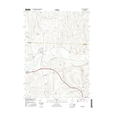
2016 Map of Wayland
USGS Topo · Published 2016About this map
The Livingston and Steuben County line divides this landscape of deep glacial valleys and upland summits. The village of Wayland serves as a central hub, surrounded by smaller historic hamlets like Springwater Valley to the north and Perkinsville to the west. This 2016 survey captures the area's transition from the high-elevation ridges of Clover Hill and Hemmer Hill down to the fertile river valleys. Water drainage patterns are clearly defined by the Cohocton River and Springwater Creek, which have carved out notable landforms such as Punky Hollow and Pardee Hollow. For genealogical researchers, the map is particularly useful, noting several burial grounds including Saint Josephs Cem and the North Loon Lake Cem, which reflect the long-standing settlement history of these rural New York townships.
Find a feature on this map
101 named features on this map. Tap any name to fly to it.
Don’t see what you’re looking for? This feature index may not catch every label — zoom into the map to look around manually.
Map Details
Editions of this 2016 Wayland Map
This is the sole edition of this map. No revisions or reprints were ever made.
Other maps of this area

1900 · Naples
USGS Topo · 1:62,500

1902 · Wayland
USGS Topo · 1:62,500

1903 · Naples
USGS Topo · 1:62,500

1904 · Wayland
USGS Topo · 1:62,500

1910 · Bath
USGS Topo · 1:62,500

1913 · Naples
USGS Topo · 1:62,500

1915 · Hornell
USGS Topo · 1:62,500

1918 · Hornell
USGS Topo · 1:62,500

1942 · Springwater
USGS Topo · 1:31,680

1942 · Wayland
USGS Topo · 1:31,680