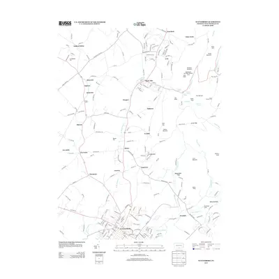
2013 Map of Waynesboro
USGS Topo · Published 2013About this map
Waynesboro serves as the focal point of this Pennsylvania-Franklin Co. study, situated at the base of the prominent ridges of the Blue Ridge Mountains. The landscape is defined by the W Br Antietam Cr and E Br Antietam Cr, which drain the valley where numerous small communities like Quincy, Tomstown, and Mont Alto are established. To the east, the terrain rises sharply toward Montalto Mountain and Rocky Mountain, featuring distinctive landmarks such as White Rocks, Eagle Rock, and the Meeting of the Pines Natural Area. The road network connects older settlements like Nunnery and Guilford Siding, reflecting the area's transition from agricultural foundations to its modern residential and industrial character. Significant springs, including Travelers Spring and Pearl Spring, underscore the hydrologic importance of the South Mountain foothills to the local geography.
Find a feature on this map
203 named features on this map. Tap any name to fly to it.
Don’t see what you’re looking for? This feature index may not catch every label — zoom into the map to look around manually.
Map Details
Editions of this 2013 Waynesboro Map
This is the sole edition of this map. No revisions or reprints were ever made.
Other maps of this area

1902 · Chambersburg
USGS Topo · 1:62,500

1909 · Fairfield
USGS Topo · 1:62,500

1909 · Hagerstown
USGS Topo · 1:48,000

1911 · Emmitsburg
USGS Topo · 1:62,500

1912 · Hagerstown
USGS Topo · 1:62,500

1942 · Hagerstown
USGS Topo · 1:125,000

1942 · Gettysburg
USGS Topo · 1:125,000

1943 · Emmitsburg
USGS Topo · 1:62,500

1943 · Hagerstown
USGS Topo · 1:125,000

1943 · Chambersburg
USGS Topo · 1:62,500