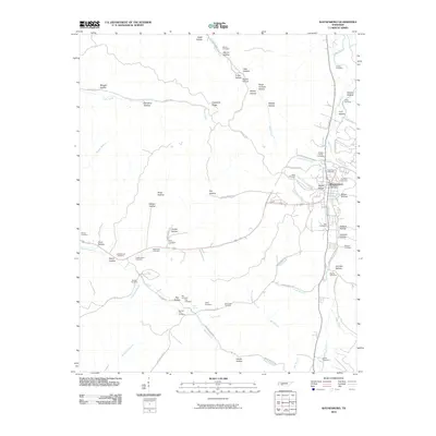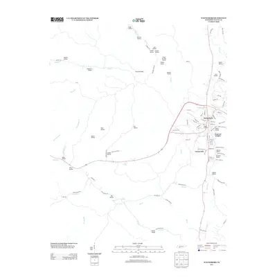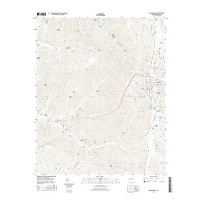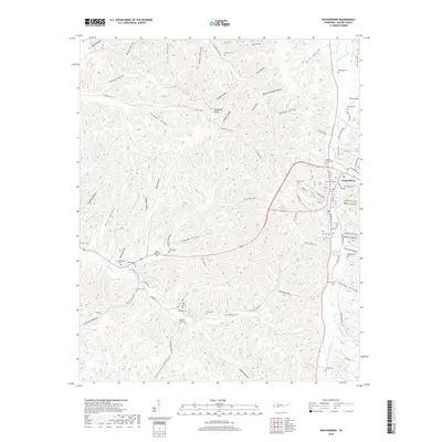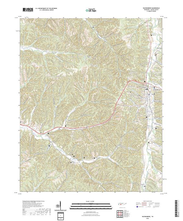
2022 Map of Waynesboro
USGS Topo · Published 2022About this map
The ridge-and-hollow topography of Wayne County defines this landscape, where Waynesboro serves as the central hub. The town is marked by a concentration of civic and historic sites, including the Wayne County Criminal Justice Center and several distinct burial grounds such as Greenwood Cem West, Greenwood Cem East, and the Old Town Cem. The surrounding terrain is a dense network of narrow valleys like Negro Hollow and Jordan Hollow, carved by waterways including the Green River and Hardin Cr.
Find a feature on this map
112 named features on this map. Tap any name to fly to it.
Don’t see what you’re looking for? This feature index may not catch every label — zoom into the map to look around manually.
Map Details
Editions of this 2022 Waynesboro Map
This is the sole edition of this map. No revisions or reprints were ever made.
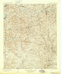
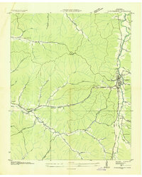
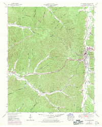
Historical Maps of Waynesboro Through Time
8 maps found