2023 Map of Weatherly
USGS Topo · Published 2023About this map
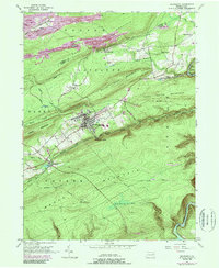
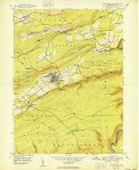
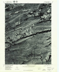
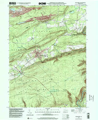
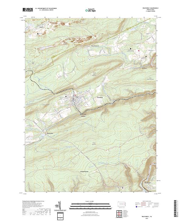
Broad Mountain and Spring Mountain dominate the topography of this Carbon County region, where steep valleys house a network of small settlements and coal-era infrastructure. The borough of Weatherly serves as a central hub, containing Union Cem and the Eurana Park Pool, while the surrounding landscape is marked by smaller outposts like Eckley and Rockport. The steep descent into the Lehigh River corridor at Lehigh Gorge provides a dramatic eastern boundary, showing the topographic challenges that shaped local transport and industry.
Find a feature on this map
99 named features on this map. Tap any name to fly to it.
Don’t see what you’re looking for? This feature index may not catch every label — zoom into the map to look around manually.
Map Details
Editions of this 2023 Weatherly Map
This is the sole edition of this map. No revisions or reprints were ever made.
Historical Maps of Eckley Through Time
5 maps found