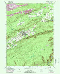
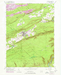
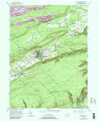
1948 Map of Weatherly
USGS Topo · Published 1990About this map
The ridge-and-valley industrial landscape of Carbon and Luzerne Counties is dominated by the steep slopes of Foster Mountain and Broad Mountain. Centered on the borough of Weatherly, the survey reveals a region defined by its narrow valleys and heavy infrastructure. Extensive strip mine operations scar the northern ridges near Eckley, while the Conrail line threads through tight gaps to reach Black Creek Junction. The settlement pattern follows these transportation corridors, with small communities like Hudsondale and Buck Mountain established along the watercourses and rail beds.
Find a feature on this map
41 named features on this map. Tap any name to fly to it.
Don’t see what you’re looking for? This feature index may not catch every label — zoom into the map to look around manually.
Map Details
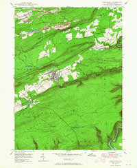
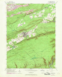
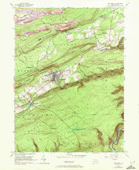
Editions of this 1948 Weatherly Map
6 editions found
Other maps of this area

1889 · Hazleton
USGS Topo · 1:62,500

1891 · Wilkesbarre
USGS Topo · 1:62,500

1891 · Hazleton
USGS Topo · 1:62,500

1893 · Hazleton
USGS Topo · 1:62,500

1894 · Wilkesbarre
USGS Topo · 1:62,500

1922 · Mauch Chunk
USGS Topo · 1:62,500

1922 · Stoddartsville
USGS Topo · 1:62,500

1924 · Stoddartsville
USGS Topo · 1:62,500

1924 · Mauch Chunk
USGS Topo · 1:62,500

1943 · Scranton
USGS Topo · 1:125,000