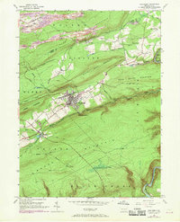
1948 Map of Weatherly
USGS Topo · Published 1969About this map
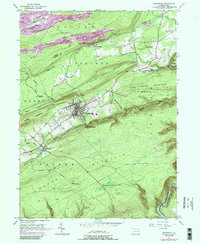
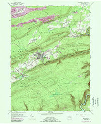
The Weatherly borough and its surrounding anthracite landscapes are captured here during a period of transition in the mid-20th century. High ridges such as Foster Mountain and Round Head Mountain overlook a valley floor carved by Black Creek and defined by the heavy infrastructure of the Lehigh Valley and Central RR of NJ. The map illustrates the industrial footprint of the region, featuring numerous Strip Mines and the Owl Hole north of the residential cores. To the south, the topography rises sharply into the broad, undeveloped reaches of Broad Mountain and Mauch Chunk, where a Lookout Tower stands above Hughes Swamp. Small settlements like Larrytown, Eckley, and Buck Mountain appear alongside local landmarks such as St Joseph Ch and the Larrytown Sch, reflecting the tight-knit social fabric of Pennsylvania's coal and rail country.
Find a feature on this map
97 named features on this map. Tap any name to fly to it.
Don’t see what you’re looking for? This feature index may not catch every label — zoom into the map to look around manually.
Map Details
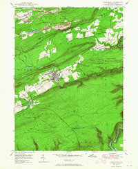
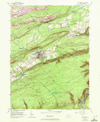
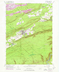
Editions of this 1948 Weatherly Map
6 editions found
Other maps of this area

1889 · Hazleton
USGS Topo · 1:62,500

1891 · Wilkesbarre
USGS Topo · 1:62,500

1891 · Hazleton
USGS Topo · 1:62,500

1893 · Hazleton
USGS Topo · 1:62,500

1894 · Wilkesbarre
USGS Topo · 1:62,500

1922 · Mauch Chunk
USGS Topo · 1:62,500

1922 · Stoddartsville
USGS Topo · 1:62,500

1924 · Stoddartsville
USGS Topo · 1:62,500

1924 · Mauch Chunk
USGS Topo · 1:62,500

1943 · Scranton
USGS Topo · 1:125,000