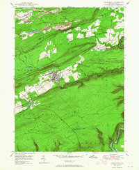
1948 Map of Weatherly
USGS Topo · Published 1965About this map
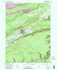
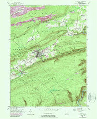
The rugged anthracite country of the Lehigh Valley is defined here by the sharp ridges of Buck Mountain and Lausanne Mountain. Centered on the industrial hub of Weatherly, the landscape reveals the extensive footprint of coal mining, with numerous Strip Mines and dumps cutting into the high plateau. The Lehigh Valley railroad line serves as a central spine through this topography, following the winding course of the Lehigh River and Black Creek to connect small mining and milling settlements like Eckley and Rockport. In the southern reaches, the vast expanse of Broad Mountain is broken only by the Lookout Tower and a singular Pipe Line, contrasting the concentrated residential grid of Weatherly with the undeveloped uplands of the Penn Forest. Researchers will find a preserved look at the mid-century infrastructure of the Carbon and Luzerne county line, including local landmarks like St Joseph Ch and Larrytown Sch.
Find a feature on this map
40 named features on this map. Tap any name to fly to it.
Don’t see what you’re looking for? This feature index may not catch every label — zoom into the map to look around manually.
Map Details
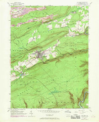
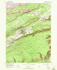
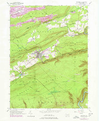
Editions of this 1948 Weatherly Map
6 editions found
Other maps of this area

1889 · Hazleton
USGS Topo · 1:62,500

1891 · Wilkesbarre
USGS Topo · 1:62,500

1891 · Hazleton
USGS Topo · 1:62,500

1893 · Hazleton
USGS Topo · 1:62,500

1894 · Wilkesbarre
USGS Topo · 1:62,500

1922 · Mauch Chunk
USGS Topo · 1:62,500

1922 · Stoddartsville
USGS Topo · 1:62,500

1924 · Stoddartsville
USGS Topo · 1:62,500

1924 · Mauch Chunk
USGS Topo · 1:62,500

1943 · Scranton
USGS Topo · 1:125,000